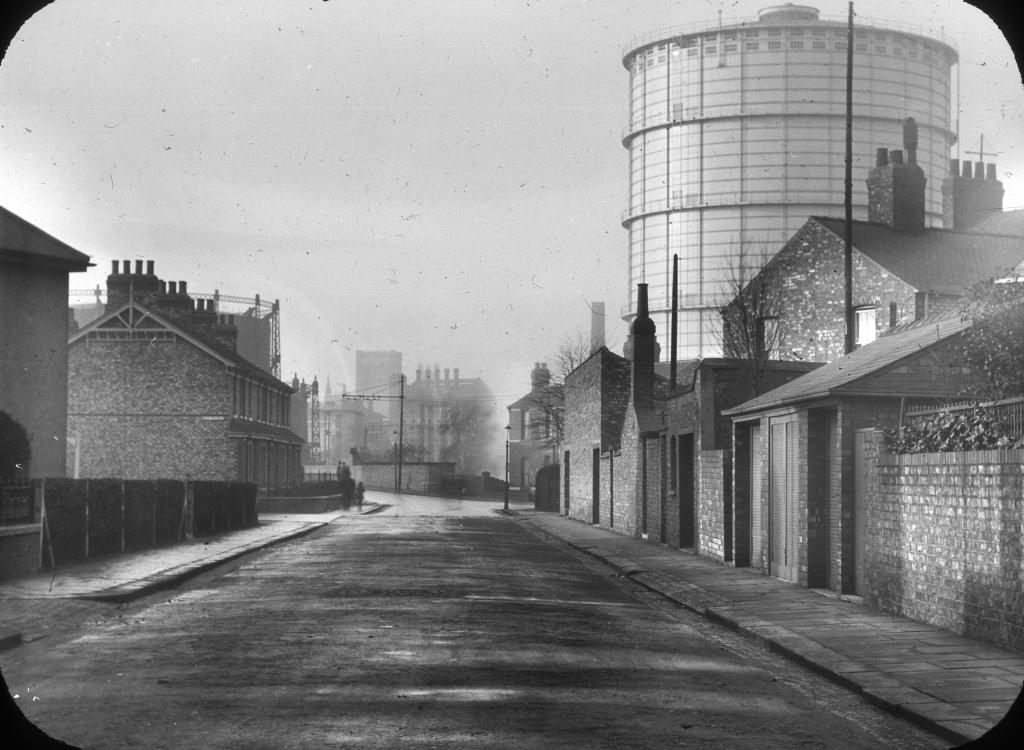
EAW018640 ENGLAND (1948). The Backhouse Nurseries, West Bank Park and environs, Holgate, 1948. This image has been produced from a print marked by Aerofilms Ltd for photo editing.

© Hawlfraint cyfranwyr OpenStreetMap a thrwyddedwyd gan yr OpenStreetMap Foundation. 2026. Trwyddedir y gartograffeg fel CC BY-SA.
Delweddau cyfagos (5)
EAW018640

EAW018637

EAW018643

EAW018638
 and the surrounding area, Holgate, 1948. This image has been produced from a damaged negative.")
EAW018642

Manylion
| Pennawd | [EAW018640] The Backhouse Nurseries, West Bank Park and environs, Holgate, 1948. This image has been produced from a print marked by Aerofilms Ltd for photo editing. |
| Cyfeirnod | EAW018640 |
| Dyddiad | 10-September-1948 |
| Dolen | |
| Enw lle | HOLGATE |
| Plwyf | |
| Ardal | |
| Gwlad | ENGLAND |
| Dwyreiniad / Gogleddiad | 458470, 451212 |
| Hydred / Lledred | -1.1088986631077, 53.953498170332 |
| Cyfeirnod Grid Cenedlaethol | SE585512 |