
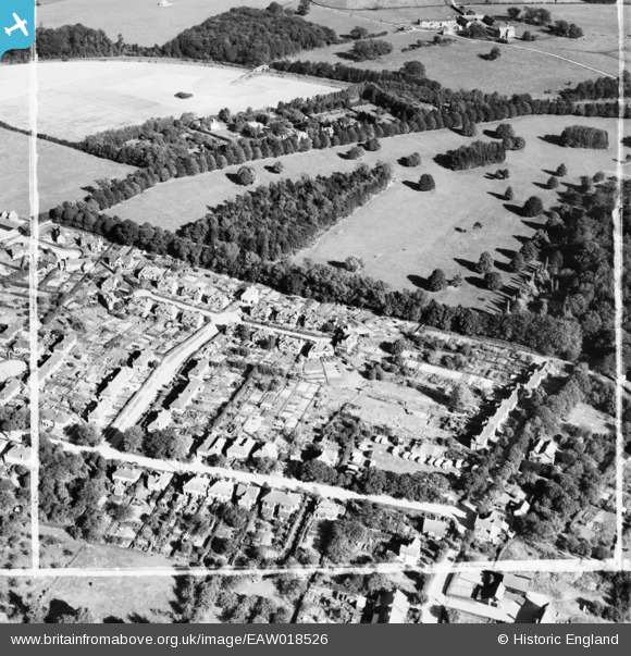
EAW018526 ENGLAND (1948). Residential area around Plantation Way, Amersham, 1948. This image was marked by Aerofilms Ltd for photo editing.
© Hawlfraint cyfranwyr OpenStreetMap a thrwyddedwyd gan yr OpenStreetMap Foundation. 2026. Trwyddedir y gartograffeg fel CC BY-SA.
Delweddau cyfagos (21)
EAW018526

EAW018525

EAW020304

EAW018521

EAW018520

EAW020298

EAW020297

EAW020301

EAW019449

EAW018523

EAW020305

EAW019446

EAW019447

EAW020302

EAW019448

EAW020303

EAW019445

EAW018522

EAW020300

EAW020299

EAW018524

Manylion
| Pennawd | [EAW018526] Residential area around Plantation Way, Amersham, 1948. This image was marked by Aerofilms Ltd for photo editing. |
| Cyfeirnod | EAW018526 |
| Dyddiad | 9-September-1948 |
| Dolen | |
| Enw lle | AMERSHAM |
| Plwyf | AMERSHAM |
| Ardal | |
| Gwlad | ENGLAND |
| Dwyreiniad / Gogleddiad | 497488, 198667 |
| Hydred / Lledred | -0.58986921985513, 51.677835154768 |
| Cyfeirnod Grid Cenedlaethol | SU975987 |
