
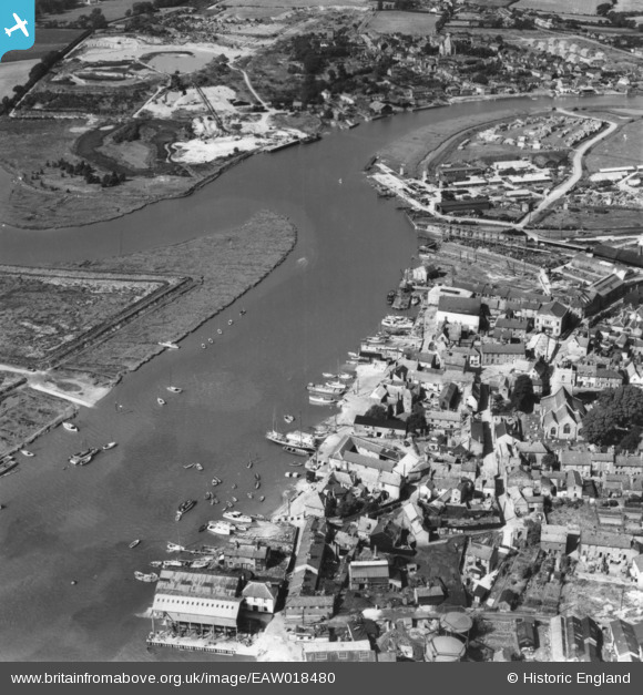
EAW018480 ENGLAND (1948). The riverside, Wivenhoe, 1948. This image has been produced from a print.
© Hawlfraint cyfranwyr OpenStreetMap a thrwyddedwyd gan yr OpenStreetMap Foundation. 2026. Trwyddedir y gartograffeg fel CC BY-SA.
Delweddau cyfagos (5)
EAW018480

EAW018475

EAW018476

EAW018477

EAW018478

Manylion
| Pennawd | [EAW018480] The riverside, Wivenhoe, 1948. This image has been produced from a print. |
| Cyfeirnod | EAW018480 |
| Dyddiad | 1-September-1948 |
| Dolen | |
| Enw lle | WIVENHOE |
| Plwyf | WIVENHOE |
| Ardal | |
| Gwlad | ENGLAND |
| Dwyreiniad / Gogleddiad | 603824, 221405 |
| Hydred / Lledred | 0.95995370594549, 51.85351521425 |
| Cyfeirnod Grid Cenedlaethol | TM038214 |
Pinnau

Matt Aldred edob.mattaldred.com |
Tuesday 3rd of September 2019 08:56:21 AM | |

Webrarian |
Thursday 26th of May 2016 10:42:45 AM | |
|
Webrarian |
Thursday 26th of May 2016 10:42:02 AM | |
|
Webrarian |
Thursday 26th of May 2016 10:41:28 AM | |
|
Webrarian |
Thursday 26th of May 2016 10:40:36 AM | |
|
Webrarian |
Thursday 26th of May 2016 10:39:45 AM | |
|
Webrarian |
Thursday 26th of May 2016 10:37:57 AM | |

keithb |
Saturday 4th of April 2015 12:26:54 PM | |
|
keithb |
Saturday 4th of April 2015 12:20:25 PM | |

cptpies |
Tuesday 31st of March 2015 10:15:22 AM | |
|
cptpies |
Tuesday 31st of March 2015 10:12:36 AM | |
|
cptpies |
Tuesday 31st of March 2015 10:12:20 AM |


Cyfraniadau Grŵp

Anti Tank Blocks on the Quay at Wivenhoe |
cptpies |
Tuesday 31st of March 2015 10:13:56 AM |