
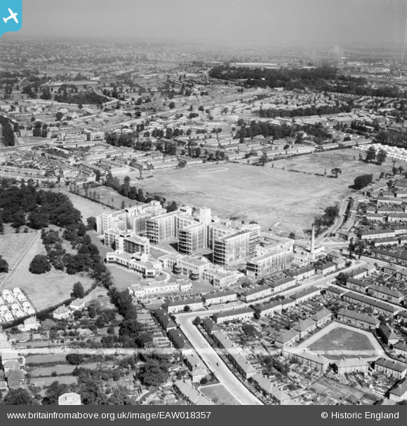
EAW018357 ENGLAND (1948). St Helier Hospital and environs, St Helier, from the south, 1948. This image was marked by Aerofilms Ltd for photo editing.
© Hawlfraint cyfranwyr OpenStreetMap a thrwyddedwyd gan yr OpenStreetMap Foundation. 2026. Trwyddedir y gartograffeg fel CC BY-SA.
Delweddau cyfagos (15)
EAW018357

EAW018361

EAW018363

EPW062015

EPW062017

EPW062018

EPW062012

EAW018362

EAW018359

EPW062016

EPW062014

EAW018360

EPW062013

EAW018358

EAW018364

Manylion
| Pennawd | [EAW018357] St Helier Hospital and environs, St Helier, from the south, 1948. This image was marked by Aerofilms Ltd for photo editing. |
| Cyfeirnod | EAW018357 |
| Dyddiad | 27-August-1948 |
| Dolen | |
| Enw lle | ST HELIER |
| Plwyf | |
| Ardal | |
| Gwlad | ENGLAND |
| Dwyreiniad / Gogleddiad | 526509, 166032 |
| Hydred / Lledred | -0.18201696197306, 51.378727277226 |
| Cyfeirnod Grid Cenedlaethol | TQ265660 |

