
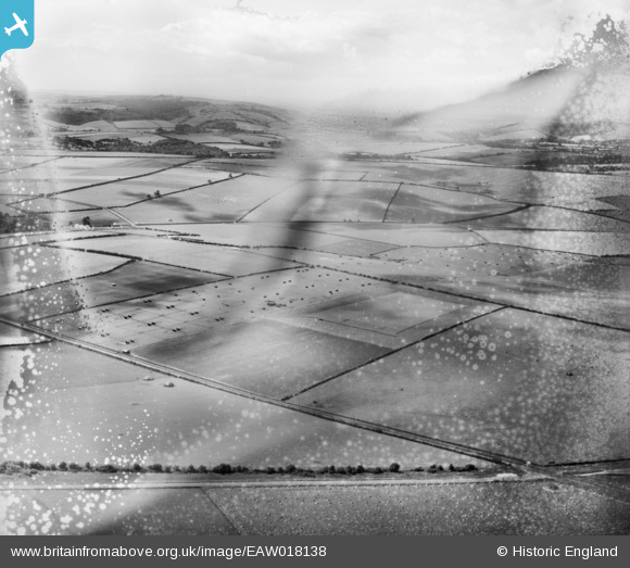
EAW018138 ENGLAND (1948). Studhouse Farm Poultry Houses and the surrounding countryside, Pimperne, from the east, 1948. This image has been produced from a damaged negative.
© Hawlfraint cyfranwyr OpenStreetMap a thrwyddedwyd gan yr OpenStreetMap Foundation. 2026. Trwyddedir y gartograffeg fel CC BY-SA.
Delweddau cyfagos (2)
EAW018138

EAW018135

Manylion
| Pennawd | [EAW018138] Studhouse Farm Poultry Houses and the surrounding countryside, Pimperne, from the east, 1948. This image has been produced from a damaged negative. |
| Cyfeirnod | EAW018138 |
| Dyddiad | 16-August-1948 |
| Dolen | |
| Enw lle | PIMPERNE |
| Plwyf | PIMPERNE |
| Ardal | |
| Gwlad | ENGLAND |
| Dwyreiniad / Gogleddiad | 391611, 110006 |
| Hydred / Lledred | -2.1192801076816, 50.888924603546 |
| Cyfeirnod Grid Cenedlaethol | ST916100 |
Pinnau
Byddwch y cyntaf i ychwanegu sylw at y ddelwedd hon!