
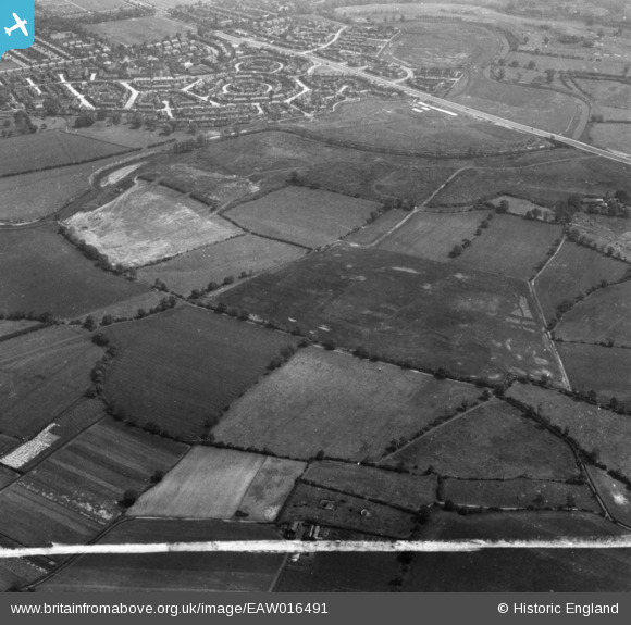
EAW016491 ENGLAND (1948). The site for the University of Manchester Sports Ground and Barlow Moor, Northenden, 1948. This image has been produced from a print marked by Aerofilms Ltd for photo editing.
© Hawlfraint cyfranwyr OpenStreetMap a thrwyddedwyd gan yr OpenStreetMap Foundation. 2026. Trwyddedir y gartograffeg fel CC BY-SA.
Delweddau cyfagos (17)
EAW016491

EAW016767

EAW016493

EAW016766

EAW016771

EAW016492

EAW016770

EAW016769

EAW016495

EAW016772

EAW016775

EAW016490

EAW016773

EPW017443

EAW016494

EAW016489

EAW016768

Manylion
| Pennawd | [EAW016491] The site for the University of Manchester Sports Ground and Barlow Moor, Northenden, 1948. This image has been produced from a print marked by Aerofilms Ltd for photo editing. |
| Cyfeirnod | EAW016491 |
| Dyddiad | 11-June-1948 |
| Dolen | |
| Enw lle | NORTHENDEN |
| Plwyf | |
| Ardal | |
| Gwlad | ENGLAND |
| Dwyreiniad / Gogleddiad | 381855, 391223 |
| Hydred / Lledred | -2.2730413344325, 53.417238804104 |
| Cyfeirnod Grid Cenedlaethol | SJ819912 |
Pinnau

John Ellis |
Sunday 3rd of September 2017 02:15:58 PM | |
|
John Ellis |
Sunday 3rd of September 2017 02:15:03 PM | |
|
John Ellis |
Friday 28th of November 2014 11:02:53 AM | |
|
John Ellis |
Friday 28th of November 2014 10:38:24 AM | |
|
John Ellis |
Friday 28th of November 2014 10:36:33 AM | |
|
John Ellis |
Friday 28th of November 2014 10:35:44 AM | |
|
John Ellis |
Friday 28th of November 2014 10:34:26 AM | |
|
John Ellis |
Friday 28th of November 2014 10:32:56 AM | |
|
John Ellis |
Friday 28th of November 2014 10:31:23 AM | |
|
John Ellis |
Friday 28th of November 2014 10:30:38 AM | |
|
John Ellis |
Friday 28th of November 2014 10:29:47 AM | |
|
John Ellis |
Friday 28th of November 2014 10:28:28 AM | |
|
John Ellis |
Friday 28th of November 2014 10:27:35 AM | |
|
John Ellis |
Friday 28th of November 2014 10:25:58 AM | |
|
John Ellis |
Friday 28th of November 2014 10:25:14 AM | |
|
John Ellis |
Friday 28th of November 2014 10:24:22 AM | |
|
John Ellis |
Friday 28th of November 2014 10:23:06 AM | |
|
John Ellis |
Friday 28th of November 2014 10:21:59 AM | |
|
John Ellis |
Friday 28th of November 2014 10:20:04 AM | |
|
John Ellis |
Friday 28th of November 2014 10:19:06 AM | |
|
John Ellis |
Friday 28th of November 2014 10:17:24 AM | |
|
John Ellis |
Friday 28th of November 2014 10:16:26 AM | |
|
John Ellis |
Friday 28th of November 2014 10:15:27 AM | |
|
John Ellis |
Friday 28th of November 2014 10:14:00 AM | |
|
John Ellis |
Friday 28th of November 2014 10:12:26 AM | |
|
John Ellis |
Friday 28th of November 2014 10:11:32 AM | |
|
John Ellis |
Friday 28th of November 2014 10:10:24 AM | |
|
alewis13939 |
Tuesday 28th of October 2014 01:45:01 AM |
Cyfraniadau Grŵp
Looking a little north of east. |
John Ellis |
Friday 28th of November 2014 12:30:00 PM |