
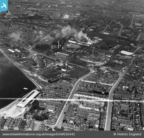
EAW016441 ENGLAND (1948). The McKechnie Bros Ltd Works and environs, Rotton Park, 1948. This image has been produced from a print marked by Aerofilms Ltd for photo editing.
© Hawlfraint cyfranwyr OpenStreetMap a thrwyddedwyd gan yr OpenStreetMap Foundation. 2026. Trwyddedir y gartograffeg fel CC BY-SA.
Delweddau cyfagos (16)
EAW016441

EAW016444

EAW016442

EAW016443

EAW009975

EPW035925

EPW047137

EPW009721

EAW009968

EPW035928

EPW054219

EPW035927

EPW047129

EAW009967

EAW016445

EAW016439
 and environs, Rotton Park, 1948. This image has been produced from a damaged negative.")
Manylion
| Pennawd | [EAW016441] The McKechnie Bros Ltd Works and environs, Rotton Park, 1948. This image has been produced from a print marked by Aerofilms Ltd for photo editing. |
| Cyfeirnod | EAW016441 |
| Dyddiad | 9-June-1948 |
| Dolen | |
| Enw lle | ROTTON PARK |
| Plwyf | |
| Ardal | |
| Gwlad | ENGLAND |
| Dwyreiniad / Gogleddiad | 404753, 286975 |
| Hydred / Lledred | -1.9300070661999, 52.480309877821 |
| Cyfeirnod Grid Cenedlaethol | SP048870 |
Pinnau
Byddwch y cyntaf i ychwanegu sylw at y ddelwedd hon!