
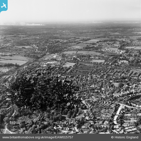
EAW015757 ENGLAND (1948). The town, Guildford, from the south, 1948. This image has been produced from a damaged negative.
© Hawlfraint cyfranwyr OpenStreetMap a thrwyddedwyd gan yr OpenStreetMap Foundation. 2026. Trwyddedir y gartograffeg fel CC BY-SA.
Delweddau cyfagos (7)
EAW015757

EPW022693

EAW005217

EPW009859

EPW022662

EPW016875

EAW014208

Manylion
| Pennawd | [EAW015757] The town, Guildford, from the south, 1948. This image has been produced from a damaged negative. |
| Cyfeirnod | EAW015757 |
| Dyddiad | 18-May-1948 |
| Dolen | |
| Enw lle | GUILDFORD |
| Plwyf | |
| Ardal | |
| Gwlad | ENGLAND |
| Dwyreiniad / Gogleddiad | 499763, 149373 |
| Hydred / Lledred | -0.57088128413691, 51.234294963095 |
| Cyfeirnod Grid Cenedlaethol | SU998494 |
Pinnau

will |
Monday 22nd of July 2024 03:13:55 PM | |
|
will |
Monday 22nd of July 2024 03:01:51 PM | |

Class31 |
Wednesday 25th of March 2015 07:27:19 PM | |
|
Knotty |
Thursday 6th of March 2014 05:05:46 PM | |
|
Knotty |
Thursday 6th of March 2014 05:01:48 PM | |
|
Knotty |
Thursday 6th of March 2014 05:00:56 PM | |
|
Knotty |
Thursday 6th of March 2014 04:58:02 PM |
