
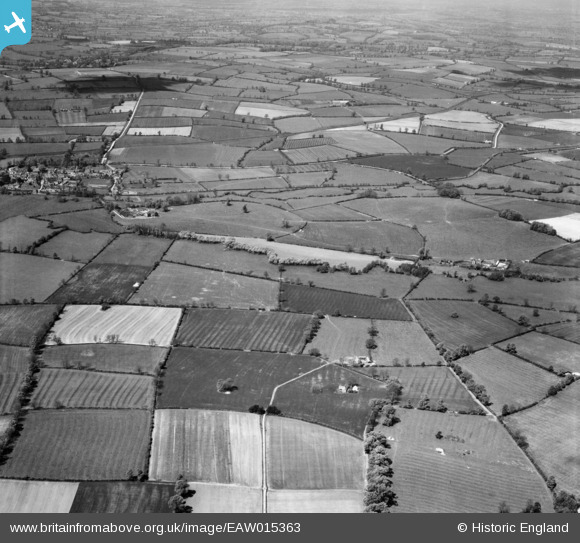
EAW015363 ENGLAND (1948). Countryside to the west of Cropredy around the site of the Battle of Cropredy Bridge, Wardington, from the south-east, 1948
© Hawlfraint cyfranwyr OpenStreetMap a thrwyddedwyd gan yr OpenStreetMap Foundation. 2026. Trwyddedir y gartograffeg fel CC BY-SA.
Delweddau cyfagos (2)
EAW015363

EAW015364

Manylion
| Pennawd | [EAW015363] Countryside to the west of Cropredy around the site of the Battle of Cropredy Bridge, Wardington, from the south-east, 1948 |
| Cyfeirnod | EAW015363 |
| Dyddiad | 6-May-1948 |
| Dolen | |
| Enw lle | WARDINGTON |
| Plwyf | WARDINGTON |
| Ardal | |
| Gwlad | ENGLAND |
| Dwyreiniad / Gogleddiad | 448120, 246873 |
| Hydred / Lledred | -1.2971427285236, 52.117667533358 |
| Cyfeirnod Grid Cenedlaethol | SP481469 |
Pinnau

Frangellica |
Thursday 2nd of March 2023 05:02:06 PM | |
|
Frangellica |
Thursday 2nd of March 2023 04:59:28 PM | |
|
Frangellica |
Thursday 2nd of March 2023 04:58:17 PM |