
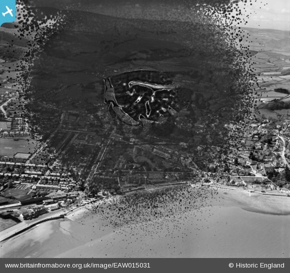
EAW015031 ENGLAND (1948). The town, Minehead, from the north-east, 1948. This image has been produced from a damaged negative.
© Hawlfraint cyfranwyr OpenStreetMap a thrwyddedwyd gan yr OpenStreetMap Foundation. 2026. Trwyddedir y gartograffeg fel CC BY-SA.
Delweddau cyfagos (6)
EAW015031

EPW033288

EPW033287

EAW015033

EPW033298

EPW039961

Manylion
| Pennawd | [EAW015031] The town, Minehead, from the north-east, 1948. This image has been produced from a damaged negative. |
| Cyfeirnod | EAW015031 |
| Dyddiad | 27-April-1948 |
| Dolen | |
| Enw lle | MINEHEAD |
| Plwyf | MINEHEAD |
| Ardal | |
| Gwlad | ENGLAND |
| Dwyreiniad / Gogleddiad | 297186, 146461 |
| Hydred / Lledred | -3.4719741246337, 51.207574480859 |
| Cyfeirnod Grid Cenedlaethol | SS972465 |
Pinnau

Matt Aldred edob.mattaldred.com |
Sunday 7th of June 2026 08:36:18 PM | |
|
Matt Aldred edob.mattaldred.com |
Sunday 29th of November 2020 08:15:06 PM | |
|
Matt Aldred edob.mattaldred.com |
Sunday 29th of November 2020 08:11:37 PM | |

redmist |
Friday 10th of July 2020 05:19:08 PM | |
|
redmist |
Friday 10th of July 2020 05:17:05 PM |