
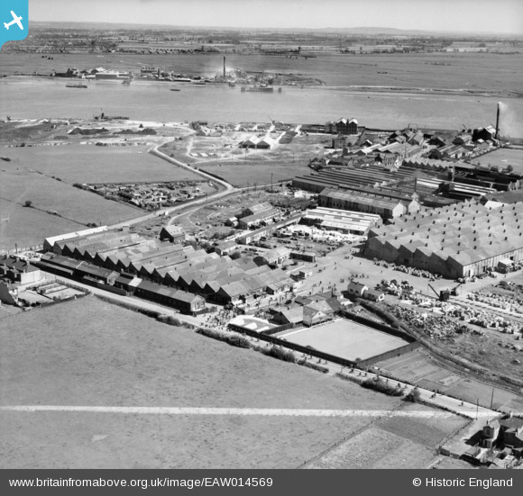
EAW014569 ENGLAND (1948). British Insulated Cables Ltd Works and environs, Erith, from the west, 1948. This image was marked by Aerofilms Ltd for photo editing.
© Hawlfraint cyfranwyr OpenStreetMap a thrwyddedwyd gan yr OpenStreetMap Foundation. 2026. Trwyddedir y gartograffeg fel CC BY-SA.
Delweddau cyfagos (15)
EAW014569

EAW014574

EPW037306

EPW037304

EPW037305

EAW048349

EPW060772

EAW048350

EPW060718

EAW014571

EPW060716

EPW037311

EAW048359

EPW060656

EPW037908

Manylion
| Pennawd | [EAW014569] British Insulated Cables Ltd Works and environs, Erith, from the west, 1948. This image was marked by Aerofilms Ltd for photo editing. |
| Cyfeirnod | EAW014569 |
| Dyddiad | 16-April-1948 |
| Dolen | |
| Enw lle | ERITH |
| Plwyf | |
| Ardal | |
| Gwlad | ENGLAND |
| Dwyreiniad / Gogleddiad | 550127, 179576 |
| Hydred / Lledred | 0.16288717823118, 51.494681608593 |
| Cyfeirnod Grid Cenedlaethol | TQ501796 |
Pinnau

Maurice |
Friday 21st of November 2014 05:59:02 PM | |

Martin |
Tuesday 4th of March 2014 03:00:04 PM |