
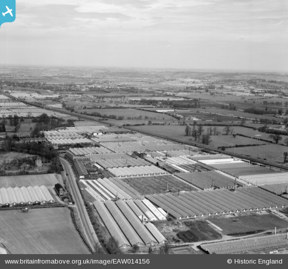
EAW014156 ENGLAND (1948). Turnford Hall Nurseries and environs, Turnford, from the south-west, 1948
© Hawlfraint cyfranwyr OpenStreetMap a thrwyddedwyd gan yr OpenStreetMap Foundation. 2026. Trwyddedir y gartograffeg fel CC BY-SA.
Delweddau cyfagos (2)
EAW014156

EAW014157

Manylion
| Pennawd | [EAW014156] Turnford Hall Nurseries and environs, Turnford, from the south-west, 1948 |
| Cyfeirnod | EAW014156 |
| Dyddiad | 7-April-1948 |
| Dolen | |
| Enw lle | TURNFORD |
| Plwyf | |
| Ardal | |
| Gwlad | ENGLAND |
| Dwyreiniad / Gogleddiad | 536500, 204098 |
| Hydred / Lledred | -0.023757863927448, 51.718516262053 |
| Cyfeirnod Grid Cenedlaethol | TL365041 |
Pinnau

Matt Aldred edob.mattaldred.com |
Sunday 29th of November 2020 08:01:43 PM | |
|
Matt Aldred edob.mattaldred.com |
Sunday 29th of November 2020 08:01:29 PM | |

john |
Thursday 18th of May 2017 10:33:07 PM | |
|
Grk |
Monday 10th of March 2014 08:05:49 PM | |
|
Grk |
Tuesday 4th of February 2014 07:52:06 PM | |
|
Grk |
Tuesday 4th of February 2014 07:50:54 PM | |
|
Grk |
Tuesday 4th of February 2014 07:47:44 PM |