
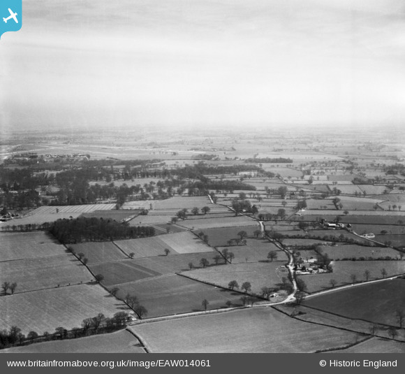
EAW014061 ENGLAND (1948). School Farm, Cartwright's Plantation and the surrounding countryside, St Cross South Elmham, from the west, 1948
© Hawlfraint cyfranwyr OpenStreetMap a thrwyddedwyd gan yr OpenStreetMap Foundation. 2026. Trwyddedir y gartograffeg fel CC BY-SA.
Delweddau cyfagos (5)
EAW014061

EAW014062

EAW014124

EAW014059

EAW014060

Manylion
| Pennawd | [EAW014061] School Farm, Cartwright's Plantation and the surrounding countryside, St Cross South Elmham, from the west, 1948 |
| Cyfeirnod | EAW014061 |
| Dyddiad | 25-March-1948 |
| Dolen | |
| Enw lle | ST CROSS SOUTH ELMHAM |
| Plwyf | ST. CROSS, SOUTH ELMHAM |
| Ardal | |
| Gwlad | ENGLAND |
| Dwyreiniad / Gogleddiad | 629558, 284856 |
| Hydred / Lledred | 1.3758389529366, 52.413071251405 |
| Cyfeirnod Grid Cenedlaethol | TM296849 |
Pinnau
Byddwch y cyntaf i ychwanegu sylw at y ddelwedd hon!