
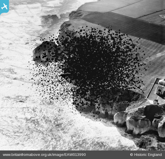
EAW013990 ENGLAND (1948). The coastline to the south of the Fog Signal Station, Flamborough Head, 1948. This image has been produced from a damaged negative.
© Hawlfraint cyfranwyr OpenStreetMap a thrwyddedwyd gan yr OpenStreetMap Foundation. 2026. Trwyddedir y gartograffeg fel CC BY-SA.
Delweddau cyfagos (6)
EAW013990

EPW039055

EPW023115

EAW013987

EPW039056

EPW023116

Manylion
| Pennawd | [EAW013990] The coastline to the south of the Fog Signal Station, Flamborough Head, 1948. This image has been produced from a damaged negative. |
| Cyfeirnod | EAW013990 |
| Dyddiad | 23-March-1948 |
| Dolen | |
| Enw lle | FLAMBOROUGH HEAD |
| Plwyf | FLAMBOROUGH |
| Ardal | |
| Gwlad | ENGLAND |
| Dwyreiniad / Gogleddiad | 525814, 470620 |
| Hydred / Lledred | -0.074980010100011, 54.115859985331 |
| Cyfeirnod Grid Cenedlaethol | TA258706 |
Pinnau
Byddwch y cyntaf i ychwanegu sylw at y ddelwedd hon!