
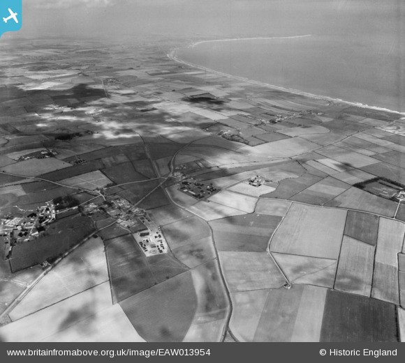
EAW013954 ENGLAND (1948). Countryside between Lissett and Bridlington Bay, Lissett, from the south, 1948
© Hawlfraint cyfranwyr OpenStreetMap a thrwyddedwyd gan yr OpenStreetMap Foundation. 2026. Trwyddedir y gartograffeg fel CC BY-SA.
Delweddau cyfagos (2)
EAW013954

EAW013953

Manylion
| Pennawd | [EAW013954] Countryside between Lissett and Bridlington Bay, Lissett, from the south, 1948 |
| Cyfeirnod | EAW013954 |
| Dyddiad | 23-March-1948 |
| Dolen | |
| Enw lle | LISSETT |
| Plwyf | ULROME |
| Ardal | |
| Gwlad | ENGLAND |
| Dwyreiniad / Gogleddiad | 514819, 457650 |
| Hydred / Lledred | -0.24802986914163, 54.001904637963 |
| Cyfeirnod Grid Cenedlaethol | TA148577 |
Pinnau

redmist |
Tuesday 28th of April 2020 01:39:30 PM | |
|
redmist |
Saturday 3rd of November 2018 11:26:55 PM | |
|
redmist |
Saturday 3rd of November 2018 11:15:17 PM | |
|
Wobblybob |
Tuesday 16th of August 2016 04:14:54 PM |
