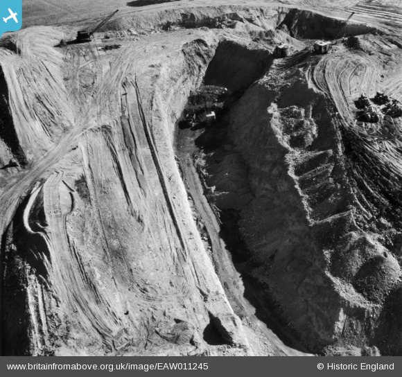
EAW011245 ENGLAND (1947). Opencast coal mining to the south of High Bank, Denby Village, 1947
    © Hawlfraint cyfranwyr OpenStreetMap a thrwyddedwyd gan yr OpenStreetMap Foundation. 2025. Trwyddedir y gartograffeg fel CC BY-SA.
  
Delweddau cyfagos (5)
Manylion
| Pennawd | [EAW011245] Opencast coal mining to the south of High Bank, Denby Village, 1947 | 
| Cyfeirnod | EAW011245 | 
| Dyddiad | 30-October-1947 | 
| Dolen | |
| Enw lle | DENBY VILLAGE | 
| Plwyf | DENBY | 
| Ardal | |
| Gwlad | ENGLAND | 
| Dwyreiniad / Gogleddiad | 440685, 346752 | 
| Hydred / Lledred | -1.3934711136879, 53.016215085529 | 
| Cyfeirnod Grid Cenedlaethol | SK407468 | 
Pinnau
Byddwch y cyntaf i ychwanegu sylw at y ddelwedd hon!
 
             
  ![[EAW011245] Opencast coal mining to the south of High Bank, Denby Village, 1947](http://britainfromabove.org.uk/sites/all/libraries/aerofilms-images/public/100x100/EAW/011/EAW011245.jpg) 
  
                                          ![[EAW011222] Denby Lane, Dumbles Lane and opencast coal mining to the east of Flamstead House, Denby Village, 1947](http://britainfromabove.org.uk/sites/all/libraries/aerofilms-images/public/100x100/EAW/011/EAW011222.jpg) 
 ![[EAW011223] Opencast coal mining to the south of Denby Lane and the east of Flamstead House, Denby Village, 1947](http://britainfromabove.org.uk/sites/all/libraries/aerofilms-images/public/100x100/EAW/011/EAW011223.jpg) 
 ![[EAW011230] Opencast coal mining to the south of Denby Lane, Denby Village, 1947](http://britainfromabove.org.uk/sites/all/libraries/aerofilms-images/public/100x100/EAW/011/EAW011230.jpg) 
 ![[EAW011232] Opencast coal mining to the south of High Bank, Denby Village, 1947](http://britainfromabove.org.uk/sites/all/libraries/aerofilms-images/public/100x100/EAW/011/EAW011232.jpg)