
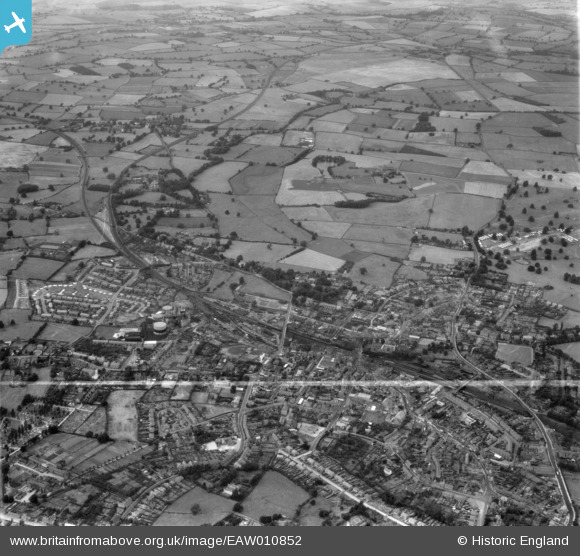
EAW010852 ENGLAND (1947). The town and Dothill Park, Wellington, from the south, 1947. This image was marked by Aerofilms Ltd for photo editing.
© Hawlfraint cyfranwyr OpenStreetMap a thrwyddedwyd gan yr OpenStreetMap Foundation. 2026. Trwyddedir y gartograffeg fel CC BY-SA.
Delweddau cyfagos (12)
EAW010852

EAW006760

EAW006759

EAW006761

EAW006804

EAW006802

EAW006803

EPW034033

EAW006814

EAW006813

EAW006815

EAW010851

Manylion
| Pennawd | [EAW010852] The town and Dothill Park, Wellington, from the south, 1947. This image was marked by Aerofilms Ltd for photo editing. |
| Cyfeirnod | EAW010852 |
| Dyddiad | 13-September-1947 |
| Dolen | |
| Enw lle | WELLINGTON |
| Plwyf | WELLINGTON |
| Ardal | |
| Gwlad | ENGLAND |
| Dwyreiniad / Gogleddiad | 364880, 311580 |
| Hydred / Lledred | -2.5197785899757, 52.700410848635 |
| Cyfeirnod Grid Cenedlaethol | SJ649116 |
Pinnau
Byddwch y cyntaf i ychwanegu sylw at y ddelwedd hon!