
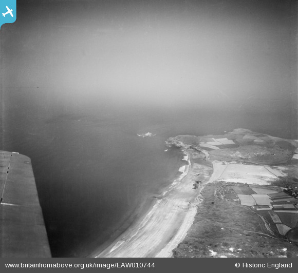
EAW010744 ENGLAND (1947). The beach at Gwithian looking towards Godrey Point and Godrevy Island, Gwithian, from the south, 1947
© Hawlfraint cyfranwyr OpenStreetMap a thrwyddedwyd gan yr OpenStreetMap Foundation. 2026. Trwyddedir y gartograffeg fel CC BY-SA.
Manylion
| Pennawd | [EAW010744] The beach at Gwithian looking towards Godrey Point and Godrevy Island, Gwithian, from the south, 1947 |
| Cyfeirnod | EAW010744 |
| Dyddiad | 10-September-1947 |
| Dolen | |
| Enw lle | GWITHIAN |
| Plwyf | GWINEAR-GWITHIAN |
| Ardal | |
| Gwlad | ENGLAND |
| Dwyreiniad / Gogleddiad | 157780, 41652 |
| Hydred / Lledred | -5.3963222396868, 50.224561485454 |
| Cyfeirnod Grid Cenedlaethol | SW578417 |
Pinnau

redmist |
Saturday 18th of July 2020 03:05:22 PM | |
|
redmist |
Saturday 18th of July 2020 03:00:34 PM | |
|
redmist |
Saturday 18th of July 2020 02:52:48 PM | |
|
redmist |
Saturday 18th of July 2020 02:51:56 PM | |
|
redmist |
Saturday 18th of July 2020 02:48:07 PM | |
|
cptpies |
Friday 6th of December 2013 11:48:10 AM |
Cyfraniadau Grŵp

Beach Scaffolding on Gwithian beach. |
cptpies |
Thursday 16th of January 2014 01:28:30 PM |