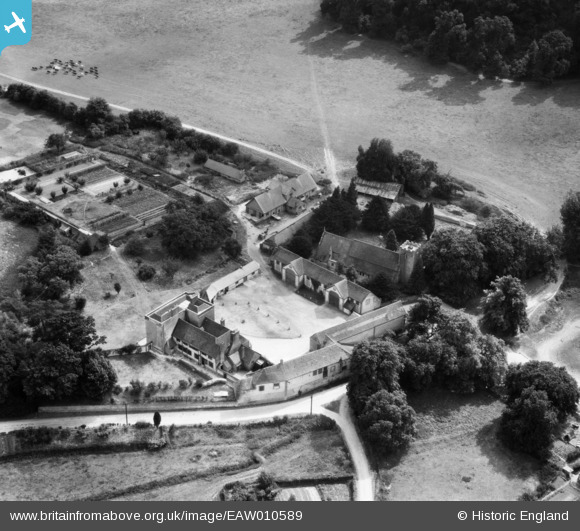
EAW010589 ENGLAND (1947). St Mary's Church and the Manor House, Buriton, 1947

© Hawlfraint cyfranwyr OpenStreetMap a thrwyddedwyd gan yr OpenStreetMap Foundation. 2025. Trwyddedir y gartograffeg fel CC BY-SA.

Delweddau cyfagos (8)

EAW010589
  0° 0m
EAW010586
  333° 6m
EAW010590
  117° 13m
EAW010585
  243° 38m
EAW010587
  280° 44m
EAW010588
  271° 52m
EAW010584
  276° 98m
EAW010583
  254° 180m

Manylion

Pennawd [EAW010589] St Mary's Church and the Manor House, Buriton, 1947
Cyfeirnod EAW010589
Dyddiad 3-September-1947
Dolen
Enw lle BURITON
Plwyf BURITON
Ardal
Gwlad ENGLAND
Dwyreiniad / Gogleddiad 474039, 120028
Hydred / Lledred -0.94532424916778, 50.974356008153
Cyfeirnod Grid Cenedlaethol SU740200

Pinnau

Buriton Manor- North Lane, Buriton, Hampshire GU31 5RT Grade 2* listed building - English Heritage Building ID: 142785 Edward Gibbon, author of the Decline and Fall of the Roman Empire lived at Buriton Manor in the later 18th C. Mansion. C18 exterior, but the older rear part has a timber-framed origin (C16, C17): C19 restoration and small service extensions.

totoro
Friday 7th of August 2015 07:26:02 PM
Buriton Parish Church- St Mary (NB there is another St Mary in nearby South Harting) Grade 2* listed building - English Heritage Building ID: 142776 Parish church. C12 nave of four bays with aisles (rebuilt c1300 (south) and 1764 (north)), C13 chancel and vestry, west tower of 1715, south porch of 1860, and minor later additions. Photograph copyright 2012, licensed under Creative Commons Attirbution Share Alike Licence. Source: http://www.geograph.org.uk/photo/2958131 Licence: http://creativecommons.org/licenses/by-sa/2.0/

totoro
Friday 7th of August 2015 07:24:48 PM