
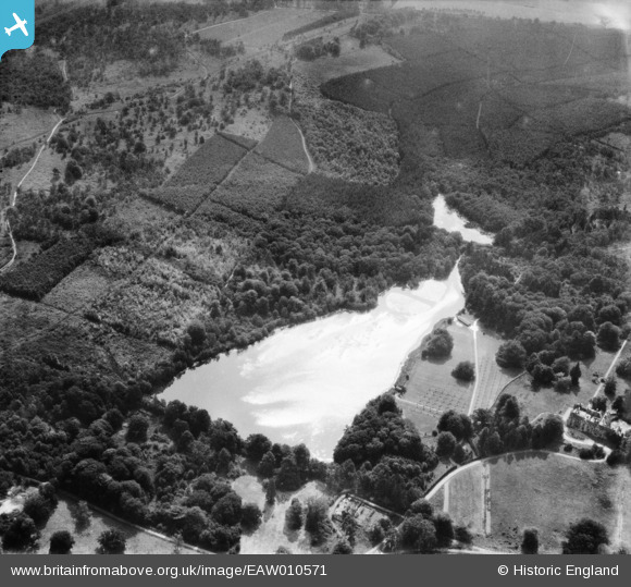
EAW010571 ENGLAND (1947). Tilgate Lake (Campbell's Lake) and surrounding forest, Tilgate, 1947
© Hawlfraint cyfranwyr OpenStreetMap a thrwyddedwyd gan yr OpenStreetMap Foundation. 2026. Trwyddedir y gartograffeg fel CC BY-SA.
Delweddau cyfagos (3)
EAW010571
 and surrounding forest, Tilgate, 1947")
EAW010568
 and surrounding forest and countryside, Tilgate, 1947")
EAW010570
 and surrounding forest and countryside, Tilgate, 1947")
Manylion
| Pennawd | [EAW010571] Tilgate Lake (Campbell's Lake) and surrounding forest, Tilgate, 1947 |
| Cyfeirnod | EAW010571 |
| Dyddiad | 3-September-1947 |
| Dolen | |
| Enw lle | TILGATE |
| Plwyf | |
| Ardal | |
| Gwlad | ENGLAND |
| Dwyreiniad / Gogleddiad | 527994, 134350 |
| Hydred / Lledred | -0.17201226307677, 51.093626908617 |
| Cyfeirnod Grid Cenedlaethol | TQ280344 |
Pinnau

MB |
Tuesday 24th of December 2013 06:30:25 PM |