
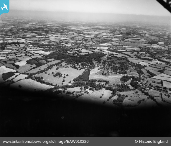
EAW010226 ENGLAND (1947). Weald Park, South Weald, from the south-west, 1947
© Hawlfraint cyfranwyr OpenStreetMap a thrwyddedwyd gan yr OpenStreetMap Foundation. 2026. Trwyddedir y gartograffeg fel CC BY-SA.
Delweddau cyfagos (3)
EAW010226

EAW010218

EPW009576

Manylion
| Pennawd | [EAW010226] Weald Park, South Weald, from the south-west, 1947 |
| Cyfeirnod | EAW010226 |
| Dyddiad | 12-August-1947 |
| Dolen | |
| Enw lle | SOUTH WEALD |
| Plwyf | |
| Ardal | |
| Gwlad | ENGLAND |
| Dwyreiniad / Gogleddiad | 556483, 194017 |
| Hydred / Lledred | 0.26081138952106, 51.622716506142 |
| Cyfeirnod Grid Cenedlaethol | TQ565940 |
Pinnau
Byddwch y cyntaf i ychwanegu sylw at y ddelwedd hon!