
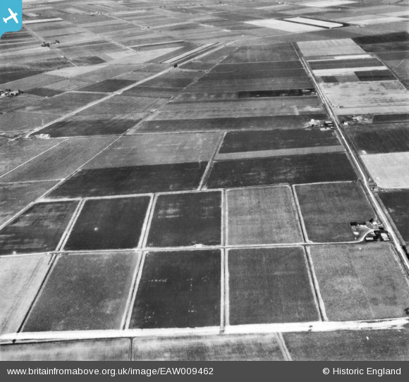
EAW009462 ENGLAND (1947). The area between Anchor Drove and Long Drove, Feltwell, 1947. This image has been produced from a print marked by Aerofilms Ltd for photo editing.
© Hawlfraint cyfranwyr OpenStreetMap a thrwyddedwyd gan yr OpenStreetMap Foundation. 2026. Trwyddedir y gartograffeg fel CC BY-SA.
Delweddau cyfagos (2)
EAW009462

EAW009463

Manylion
| Pennawd | [EAW009462] The area between Anchor Drove and Long Drove, Feltwell, 1947. This image has been produced from a print marked by Aerofilms Ltd for photo editing. |
| Cyfeirnod | EAW009462 |
| Dyddiad | 19-August-1947 |
| Dolen | |
| Enw lle | FELTWELL |
| Plwyf | FELTWELL |
| Ardal | |
| Gwlad | ENGLAND |
| Dwyreiniad / Gogleddiad | 563330, 290335 |
| Hydred / Lledred | 0.40570309646554, 52.486080110015 |
| Cyfeirnod Grid Cenedlaethol | TL633903 |
