
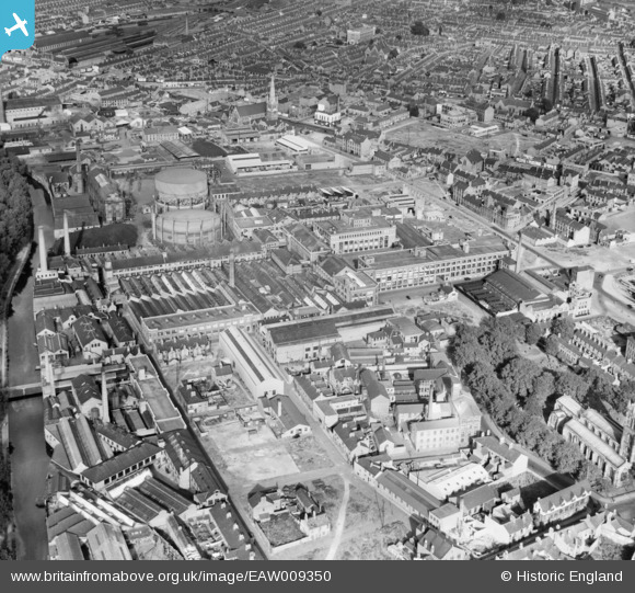
EAW009350 ENGLAND (1947). N. Corah and Sons Ltd St Margaret's Works and environs, Leicester, 1947
© Hawlfraint cyfranwyr OpenStreetMap a thrwyddedwyd gan yr OpenStreetMap Foundation. 2026. Trwyddedir y gartograffeg fel CC BY-SA.
Delweddau cyfagos (14)
EAW009350

EAW009357

EAW009356

EAW009354

EAW009351

EAW009358

EAW009348

EAW009359

EAW009347

EAW009352

EAW009349

EAW009353

EAW009355

EPW055007

Manylion
| Pennawd | [EAW009350] N. Corah and Sons Ltd St Margaret's Works and environs, Leicester, 1947 |
| Cyfeirnod | EAW009350 |
| Dyddiad | 17-August-1947 |
| Dolen | |
| Enw lle | LEICESTER |
| Plwyf | |
| Ardal | |
| Gwlad | ENGLAND |
| Dwyreiniad / Gogleddiad | 458685, 305238 |
| Hydred / Lledred | -1.1326223171481, 52.641356524974 |
| Cyfeirnod Grid Cenedlaethol | SK587052 |
Pinnau

redmist |
Thursday 1st of December 2022 10:29:11 PM | |
|
neil |
Friday 14th of January 2022 08:06:54 PM | |
|
JCC |
Monday 11th of November 2013 01:22:00 AM | |
|
JCC |
Monday 11th of November 2013 01:17:29 AM | |
|
JCC |
Monday 11th of November 2013 01:15:58 AM | |
|
JCC |
Monday 11th of November 2013 01:15:30 AM | |
|
JCC |
Monday 11th of November 2013 01:14:42 AM | |
|
JCC |
Monday 11th of November 2013 01:13:51 AM |