
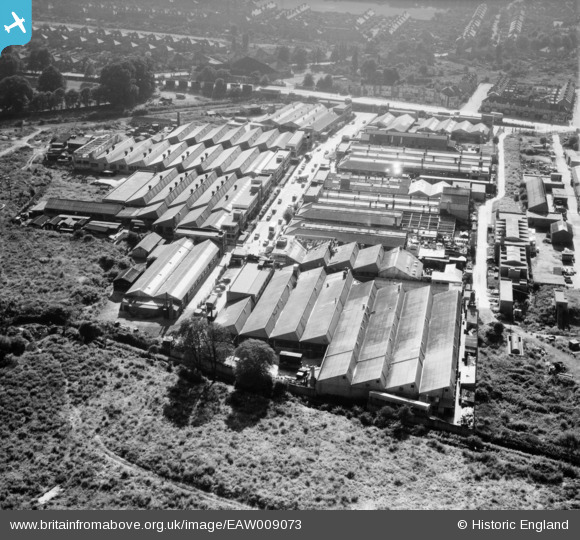
EAW009073 ENGLAND (1947). The Morden Factory Estate, Merton, 1947
© Hawlfraint cyfranwyr OpenStreetMap a thrwyddedwyd gan yr OpenStreetMap Foundation. 2026. Trwyddedir y gartograffeg fel CC BY-SA.
Delweddau cyfagos (21)
EAW009073

EAW009067

EAW009069

EAW009072

EAW009074

EAW009066

EAW009077

EAW009078

EAW009075

EAW009068

EAW009070

EAW009076

EAW009071

EPW037804

EPW037806

EPW037805

EPW037807

EPW037800

EPW037803

EPW037802

EPW037808

Manylion
| Pennawd | [EAW009073] The Morden Factory Estate, Merton, 1947 |
| Cyfeirnod | EAW009073 |
| Dyddiad | 13-August-1947 |
| Dolen | |
| Enw lle | MERTON |
| Plwyf | |
| Ardal | |
| Gwlad | ENGLAND |
| Dwyreiniad / Gogleddiad | 526077, 169397 |
| Hydred / Lledred | -0.18702615836255, 51.40906858444 |
| Cyfeirnod Grid Cenedlaethol | TQ261694 |
Pinnau

David A |
Thursday 6th of November 2025 01:10:38 PM | |

Matt Aldred edob.mattaldred.com |
Saturday 28th of September 2024 03:49:27 PM |