
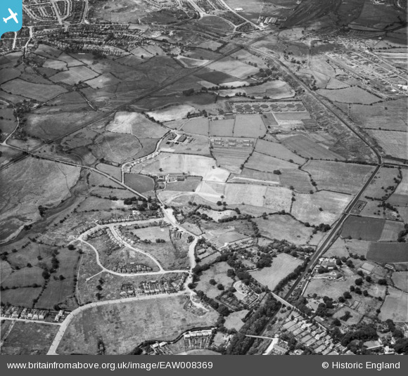
EAW008369 ENGLAND (1947). Newton village, the Ray Hall Sewage Works and the Tame Valley Canal, West Bromwich, from the south-east, 1947
© Hawlfraint cyfranwyr OpenStreetMap a thrwyddedwyd gan yr OpenStreetMap Foundation. 2026. Trwyddedir y gartograffeg fel CC BY-SA.
Delweddau cyfagos (3)
EAW008369

EAW008368

EAW008370

Manylion
| Pennawd | [EAW008369] Newton village, the Ray Hall Sewage Works and the Tame Valley Canal, West Bromwich, from the south-east, 1947 |
| Cyfeirnod | EAW008369 |
| Dyddiad | 20-July-1947 |
| Dolen | |
| Enw lle | WEST BROMWICH |
| Plwyf | |
| Ardal | |
| Gwlad | ENGLAND |
| Dwyreiniad / Gogleddiad | 403386, 293899 |
| Hydred / Lledred | -1.9500670633698, 52.542573455595 |
| Cyfeirnod Grid Cenedlaethol | SP034939 |
Pinnau

redmist |
Thursday 28th of October 2021 07:25:44 PM | |
|
redmist |
Thursday 28th of October 2021 07:24:22 PM | |
|
lentrott |
Wednesday 20th of October 2021 01:03:53 PM | |
|
Hamilton163 |
Friday 17th of July 2015 10:16:34 PM | |
|
Hamilton163 |
Friday 17th of July 2015 10:15:46 PM | |
|
Mikeya |
Wednesday 24th of September 2014 02:47:51 AM | |
|
Mikeya |
Wednesday 24th of September 2014 02:46:48 AM | |
|
Mikeya |
Wednesday 24th of September 2014 02:45:52 AM | |
|
Mikeya |
Wednesday 24th of September 2014 02:45:23 AM |
Cyfraniadau Grŵp
How different this is now with the 'Midland Links Motorway' M5/M6 junction almost filling this landscape. |
Mikeya |
Wednesday 24th of September 2014 02:48:40 AM |