
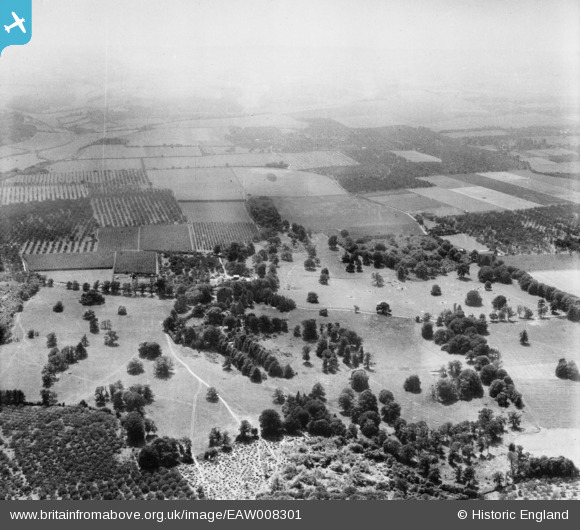
EAW008301 ENGLAND (1947). Home Farm, Woodstock, from the north-east, 1947
© Hawlfraint cyfranwyr OpenStreetMap a thrwyddedwyd gan yr OpenStreetMap Foundation. 2026. Trwyddedir y gartograffeg fel CC BY-SA.
Delweddau cyfagos (3)
EAW008301

EAW008299

EAW008297

Manylion
| Pennawd | [EAW008301] Home Farm, Woodstock, from the north-east, 1947 |
| Cyfeirnod | EAW008301 |
| Dyddiad | 15-July-1947 |
| Dolen | |
| Enw lle | WOODSTOCK |
| Plwyf | TUNSTALL |
| Ardal | |
| Gwlad | ENGLAND |
| Dwyreiniad / Gogleddiad | 590260, 161068 |
| Hydred / Lledred | 0.73052486115939, 51.316355183613 |
| Cyfeirnod Grid Cenedlaethol | TQ903611 |
Pinnau
Cyfraniadau Grŵp
Thanks! We'll update the catalogue and post the new data here in due course. Yours, Katy Britain from Above Cataloguing Team Leader |
Katy Whitaker |
Tuesday 7th of January 2014 01:09:55 PM |
View looking south |

Class31 |
Friday 8th of November 2013 12:13:14 AM |
In the set EAW008294, EAW008296 - EAW008308, EAW008310 - EAW008311, EAW008313. All taken in same are with oast houses and orchards. Kent? |

Rebecca |
Monday 4th of November 2013 02:00:18 PM |