
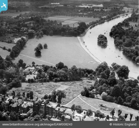
EAW008243 ENGLAND (1947). The River Thames and Glover's Island at Petersham, Richmond, 1947
© Hawlfraint cyfranwyr OpenStreetMap a thrwyddedwyd gan yr OpenStreetMap Foundation. 2026. Trwyddedir y gartograffeg fel CC BY-SA.
Delweddau cyfagos (14)
EAW008243

EAW006952

EAW006955

EAW006956

EAW006951

EAW006957

EAW006959

EAW006958

EAW006954

EAW006960

EAW006961

EPW001697

EAW006953

EPW001698

Manylion
| Pennawd | [EAW008243] The River Thames and Glover's Island at Petersham, Richmond, 1947 |
| Cyfeirnod | EAW008243 |
| Dyddiad | 16-July-1947 |
| Dolen | |
| Enw lle | RICHMOND |
| Plwyf | |
| Ardal | |
| Gwlad | ENGLAND |
| Dwyreiniad / Gogleddiad | 518083, 173758 |
| Hydred / Lledred | -0.30046879257621, 51.449989469329 |
| Cyfeirnod Grid Cenedlaethol | TQ181738 |
Pinnau

redmist |
Thursday 25th of November 2021 05:03:31 PM | |
|
redmist |
Thursday 25th of November 2021 05:02:18 PM | |
|
Ham Man |
Monday 8th of January 2018 07:02:51 PM | |

Sparky |
Sunday 1st of October 2017 09:13:26 PM | |
Well, it doesn't appear on Google maps now or on Google Earth in 2002. The flat top with steps up to it might suggest a base for something, I don't thing it's military in origin - the height would make it too obvious as a target and despite having a reasonable view of the Thames downstream it would be too easily outflanked. So possibly a base for either a bandstand or some form of observatory structure? |
Brightonboy |
Tuesday 9th of January 2018 08:26:56 AM |