
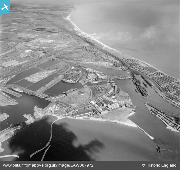
EAW007972 ENGLAND (1947). The Old Harbour and the docks, Hartlepool, 1947
© Hawlfraint cyfranwyr OpenStreetMap a thrwyddedwyd gan yr OpenStreetMap Foundation. 2026. Trwyddedir y gartograffeg fel CC BY-SA.
Delweddau cyfagos (6)
EAW007972

EPW010609

EPW010608

EAW003185

EPW010601

EAW003186

Manylion
| Pennawd | [EAW007972] The Old Harbour and the docks, Hartlepool, 1947 |
| Cyfeirnod | EAW007972 |
| Dyddiad | 26-June-1947 |
| Dolen | |
| Enw lle | HARTLEPOOL |
| Plwyf | |
| Ardal | |
| Gwlad | ENGLAND |
| Dwyreiniad / Gogleddiad | 451752, 533878 |
| Hydred / Lledred | -1.1969274462868, 54.697162575663 |
| Cyfeirnod Grid Cenedlaethol | NZ518339 |
Pinnau

redmist |
Friday 30th of September 2022 07:49:46 PM | |
|
redmist |
Friday 30th of September 2022 03:18:32 PM | |
|
redmist |
Friday 30th of September 2022 03:17:05 PM | |
|
redmist |
Friday 30th of September 2022 03:16:25 PM | |

Matt Aldred edob.mattaldred.com |
Friday 12th of March 2021 12:50:08 AM | |
|
redmist |
Wednesday 23rd of September 2020 12:09:02 PM | |
|
redmist |
Wednesday 23rd of September 2020 12:08:12 PM | |
|
redmist |
Wednesday 23rd of September 2020 12:03:30 PM | |
|
redmist |
Wednesday 23rd of September 2020 12:01:18 PM | |
|
redmist |
Wednesday 23rd of September 2020 12:00:56 PM | |
|
redmist |
Wednesday 23rd of September 2020 11:59:58 AM | |
|
redmist |
Wednesday 23rd of September 2020 11:59:16 AM | |
|
redmist |
Wednesday 23rd of September 2020 11:58:42 AM | |

Dylan Moore |
Sunday 16th of February 2014 10:25:15 PM |