
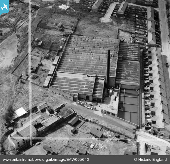
EAW005640 ENGLAND (1947). The Longshaw Cotton and Rayon Weaving Mill, Blackburn, 1947. This image was marked by Aerofilms Ltd for photo editing.
© Hawlfraint cyfranwyr OpenStreetMap a thrwyddedwyd gan yr OpenStreetMap Foundation. 2026. Trwyddedir y gartograffeg fel CC BY-SA.
Delweddau cyfagos (14)
EAW005640

EAW005643

EAW005639

EAW005642

EAW005641

EAW005644

EAW045372

EAW045374

EAW045368

EAW045371

EAW045373

EAW045370

EAW045367

EAW045369

Manylion
| Pennawd | [EAW005640] The Longshaw Cotton and Rayon Weaving Mill, Blackburn, 1947. This image was marked by Aerofilms Ltd for photo editing. |
| Cyfeirnod | EAW005640 |
| Dyddiad | 15-May-1947 |
| Dolen | |
| Enw lle | BLACKBURN |
| Plwyf | |
| Ardal | |
| Gwlad | ENGLAND |
| Dwyreiniad / Gogleddiad | 368401, 426773 |
| Hydred / Lledred | -2.4790867988907, 53.73616458732 |
| Cyfeirnod Grid Cenedlaethol | SD684268 |
Pinnau

redmist |
Friday 22nd of March 2019 09:14:27 AM |