
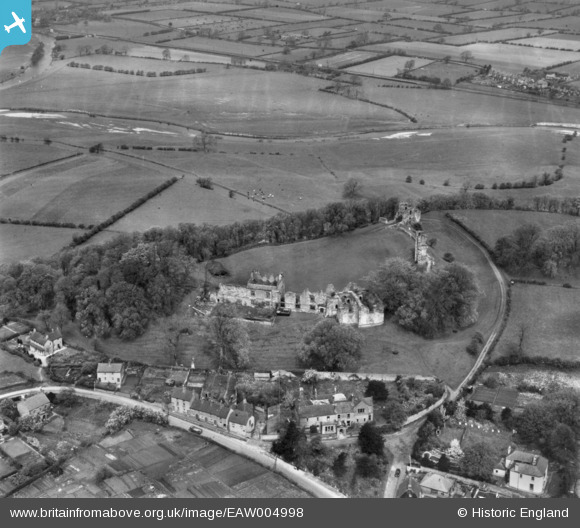
EAW004998 ENGLAND (1947). Tutbury Castle, Tutbury, 1947. This image has been produced from a print.
© Hawlfraint cyfranwyr OpenStreetMap a thrwyddedwyd gan yr OpenStreetMap Foundation. 2026. Trwyddedir y gartograffeg fel CC BY-SA.
Delweddau cyfagos (5)
EAW004998

EAW004997

EAW004995

EAW004996

EAW004999

Manylion
| Pennawd | [EAW004998] Tutbury Castle, Tutbury, 1947. This image has been produced from a print. |
| Cyfeirnod | EAW004998 |
| Dyddiad | 7-May-1947 |
| Dolen | |
| Enw lle | TUTBURY |
| Plwyf | TUTBURY |
| Ardal | |
| Gwlad | ENGLAND |
| Dwyreiniad / Gogleddiad | 420882, 329185 |
| Hydred / Lledred | -1.689817104964, 52.859423705015 |
| Cyfeirnod Grid Cenedlaethol | SK209292 |
Pinnau

grey |
Sunday 4th of January 2015 06:01:27 PM |