
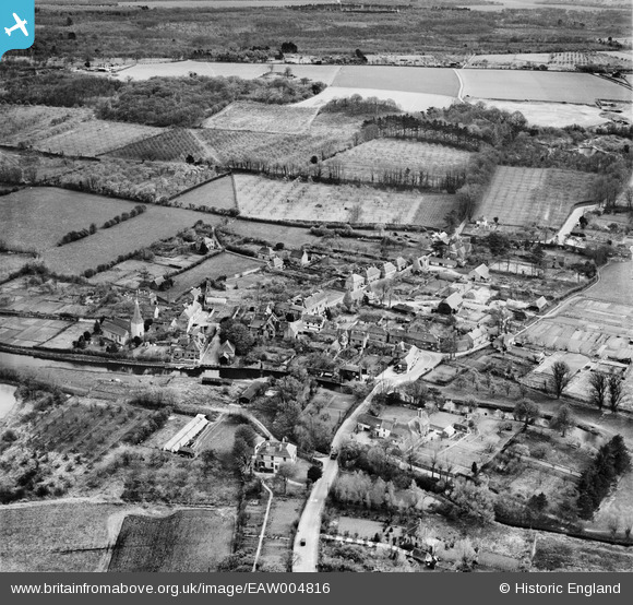
EAW004816 ENGLAND (1947). The town, Fordwich, from the north-west, 1947
© Hawlfraint cyfranwyr OpenStreetMap a thrwyddedwyd gan yr OpenStreetMap Foundation. 2026. Trwyddedir y gartograffeg fel CC BY-SA.
Delweddau cyfagos (4)
EAW004816

EAW004817

EAW004818

EAW004814

Manylion
| Pennawd | [EAW004816] The town, Fordwich, from the north-west, 1947 |
| Cyfeirnod | EAW004816 |
| Dyddiad | 25-April-1947 |
| Dolen | |
| Enw lle | FORDWICH |
| Plwyf | FORDWICH |
| Ardal | |
| Gwlad | ENGLAND |
| Dwyreiniad / Gogleddiad | 617959, 159857 |
| Hydred / Lledred | 1.1267133739677, 51.295546055775 |
| Cyfeirnod Grid Cenedlaethol | TR180599 |
Pinnau

Matt Aldred edob.mattaldred.com |
Saturday 1st of March 2025 10:49:36 PM | |

Sparky |
Friday 6th of October 2017 06:23:08 PM | |
|
Sparky |
Sunday 13th of August 2017 09:03:53 PM | |

totoro |
Wednesday 11th of December 2013 10:57:24 PM | |
|
totoro |
Wednesday 11th of December 2013 10:56:07 PM | |
|
totoro |
Wednesday 11th of December 2013 10:55:23 PM | |
|
totoro |
Wednesday 11th of December 2013 10:54:03 PM | |
|
totoro |
Wednesday 11th of December 2013 10:52:33 PM | |
|
totoro |
Wednesday 11th of December 2013 10:51:09 PM | |
|
JimP |
Wednesday 30th of October 2013 05:57:07 PM |