
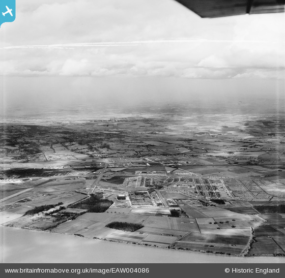
EAW004086 ENGLAND (1947). Speke airfield, Speke and Halewood, Speke, from the south, 1947. This image was marked by Aerofilms Ltd for photo editing.
© Hawlfraint cyfranwyr OpenStreetMap a thrwyddedwyd gan yr OpenStreetMap Foundation. 2026. Trwyddedir y gartograffeg fel CC BY-SA.
Delweddau cyfagos (5)
EAW004086

EAW047310

EAW004087

EAW047307

EAW047309

Manylion
| Pennawd | [EAW004086] Speke airfield, Speke and Halewood, Speke, from the south, 1947. This image was marked by Aerofilms Ltd for photo editing. |
| Cyfeirnod | EAW004086 |
| Dyddiad | 25-March-1947 |
| Dolen | |
| Enw lle | SPEKE |
| Plwyf | |
| Ardal | |
| Gwlad | ENGLAND |
| Dwyreiniad / Gogleddiad | 342688, 382688 |
| Hydred / Lledred | -2.8608196872071, 53.33771951212 |
| Cyfeirnod Grid Cenedlaethol | SJ427827 |
Pinnau

DaveH |
Friday 10th of November 2023 09:18:44 PM | |

bescotbeast |
Friday 28th of March 2014 04:40:03 PM |