
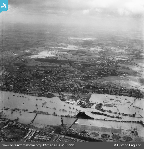
EAW003991 ENGLAND (1947). Flooding along the River Severn at Diglis, from the west, 1947
© Hawlfraint cyfranwyr OpenStreetMap a thrwyddedwyd gan yr OpenStreetMap Foundation. 2026. Trwyddedir y gartograffeg fel CC BY-SA.
Delweddau cyfagos (3)
EAW003991

EPW048087

EAW046117

Manylion
| Pennawd | [EAW003991] Flooding along the River Severn at Diglis, from the west, 1947 |
| Cyfeirnod | EAW003991 |
| Dyddiad | 21-March-1947 |
| Dolen | |
| Enw lle | DIGLIS |
| Plwyf | |
| Ardal | |
| Gwlad | ENGLAND |
| Dwyreiniad / Gogleddiad | 385119, 253789 |
| Hydred / Lledred | -2.2176680546374, 52.181746693429 |
| Cyfeirnod Grid Cenedlaethol | SO851538 |
Pinnau
Byddwch y cyntaf i ychwanegu sylw at y ddelwedd hon!