
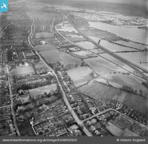
EAW003920 ENGLAND (1947). Woodstock Road and flooding at Port Meadow, Summertown, 1947
© Hawlfraint cyfranwyr OpenStreetMap a thrwyddedwyd gan yr OpenStreetMap Foundation. 2026. Trwyddedir y gartograffeg fel CC BY-SA.
Delweddau cyfagos (3)
EAW003920

EPW022541

EAW003919

Manylion
| Pennawd | [EAW003920] Woodstock Road and flooding at Port Meadow, Summertown, 1947 |
| Cyfeirnod | EAW003920 |
| Dyddiad | 20-March-1947 |
| Dolen | |
| Enw lle | SUMMERTOWN |
| Plwyf | |
| Ardal | |
| Gwlad | ENGLAND |
| Dwyreiniad / Gogleddiad | 450263, 209080 |
| Hydred / Lledred | -1.2713717101537, 51.777676652554 |
| Cyfeirnod Grid Cenedlaethol | SP503091 |
Pinnau
Byddwch y cyntaf i ychwanegu sylw at y ddelwedd hon!