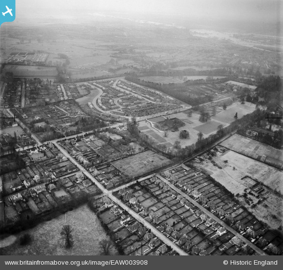
EAW003908 ENGLAND (1947). Residential area around Headington School and environs, Headington Hill, 1947
    © Hawlfraint cyfranwyr OpenStreetMap a thrwyddedwyd gan yr OpenStreetMap Foundation. 2025. Trwyddedir y gartograffeg fel CC BY-SA.
  
Delweddau cyfagos (8)
Manylion
| Pennawd | [EAW003908] Residential area around Headington School and environs, Headington Hill, 1947 | 
| Cyfeirnod | EAW003908 | 
| Dyddiad | 20-March-1947 | 
| Dolen | |
| Enw lle | HEADINGTON HILL | 
| Plwyf | |
| Ardal | |
| Gwlad | ENGLAND | 
| Dwyreiniad / Gogleddiad | 453916, 206845 | 
| Hydred / Lledred | -1.2187687989613, 51.757241099702 | 
| Cyfeirnod Grid Cenedlaethol | SP539068 | 
Pinnau
Byddwch y cyntaf i ychwanegu sylw at y ddelwedd hon!
 
             
  ![[EAW003908] Residential area around Headington School and environs, Headington Hill, 1947](http://britainfromabove.org.uk/sites/all/libraries/aerofilms-images/public/100x100/EAW/003/EAW003908.jpg) 
  
                                          ![[EAW023201] Headington School and environs, Headington, from the east, 1949. This image was marked by Aerofilms Ltd for photo editing.](http://britainfromabove.org.uk/sites/all/libraries/aerofilms-images/public/100x100/EAW/023/EAW023201.jpg) 
 ![[EAW023203] Headington School and environs, Headington, from the north-east, 1949. This image was marked by Aerofilms Ltd for photo editing.](http://britainfromabove.org.uk/sites/all/libraries/aerofilms-images/public/100x100/EAW/023/EAW023203.jpg) 
 ![[EPW050487] Headington School and environs, Headington, 1936. This image has been produced from a copy-negative.](http://britainfromabove.org.uk/sites/all/libraries/aerofilms-images/public/100x100/EPW/050/EPW050487.jpg) 
 ![[EAW023200] Headington School, Headington, 1949. This image was marked by Aerofilms Ltd for photo editing.](http://britainfromabove.org.uk/sites/all/libraries/aerofilms-images/public/100x100/EAW/023/EAW023200.jpg) 
 ![[EAW023202] Headington Hill, Headington, 1949. This image was marked by Aerofilms Ltd for photo editing.](http://britainfromabove.org.uk/sites/all/libraries/aerofilms-images/public/100x100/EAW/023/EAW023202.jpg) 
 ![[EAW049094] The Gipsy Lane estate and Headington Hill area, New Headington, from the south-east, 1953](http://britainfromabove.org.uk/sites/all/libraries/aerofilms-images/public/100x100/EAW/049/EAW049094.jpg) 
 ![[EPW022538] New Headington and new housing at Valentia Road, Headington, from the west, 1928](http://britainfromabove.org.uk/sites/all/libraries/aerofilms-images/public/100x100/EPW/022/EPW022538.jpg)