
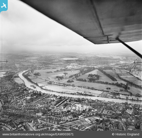
EAW003671 ENGLAND (1947). The River Thames in flood, Hampton Court Park, from the east, 1947
© Hawlfraint cyfranwyr OpenStreetMap a thrwyddedwyd gan yr OpenStreetMap Foundation. 2026. Trwyddedir y gartograffeg fel CC BY-SA.
Delweddau cyfagos (4)
EAW003671

EPW001727

EPW049590

EPW056229

Manylion
| Pennawd | [EAW003671] The River Thames in flood, Hampton Court Park, from the east, 1947 |
| Cyfeirnod | EAW003671 |
| Dyddiad | 18-March-1947 |
| Dolen | |
| Enw lle | HAMPTON COURT PARK |
| Plwyf | |
| Ardal | |
| Gwlad | ENGLAND |
| Dwyreiniad / Gogleddiad | 517705, 168526 |
| Hydred / Lledred | -0.30764527882027, 51.403039362914 |
| Cyfeirnod Grid Cenedlaethol | TQ177685 |
