
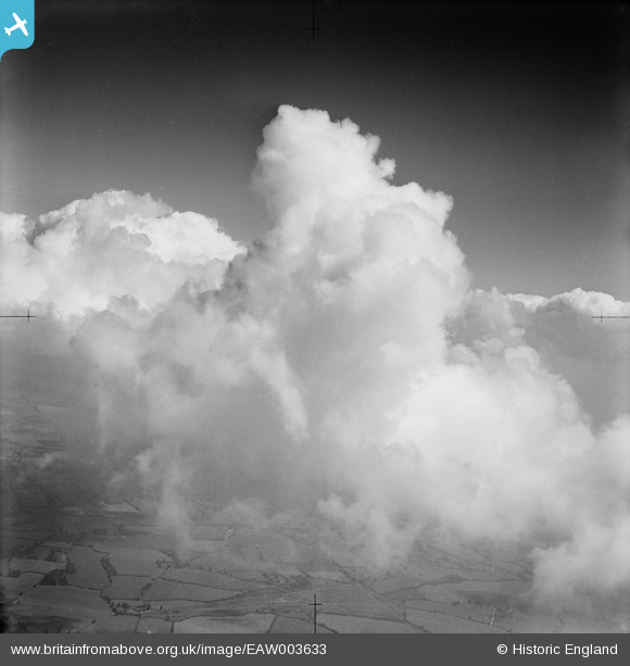
EAW003633 ENGLAND (1947). Clouds over Nomansland Common, Sandridge, 1947
© Hawlfraint cyfranwyr OpenStreetMap a thrwyddedwyd gan yr OpenStreetMap Foundation. 2026. Trwyddedir y gartograffeg fel CC BY-SA.
Delweddau cyfagos (3)
EAW003633

EAW015562

EAW015563

Manylion
| Pennawd | [EAW003633] Clouds over Nomansland Common, Sandridge, 1947 |
| Cyfeirnod | EAW003633 |
| Dyddiad | March-1947 |
| Dolen | |
| Enw lle | SANDRIDGE |
| Plwyf | SANDRIDGE |
| Ardal | |
| Gwlad | ENGLAND |
| Dwyreiniad / Gogleddiad | 516996, 212435 |
| Hydred / Lledred | -0.30318459860759, 51.797859488422 |
| Cyfeirnod Grid Cenedlaethol | TL170124 |
Pinnau

Mike Holder |
Tuesday 1st of September 2020 08:38:56 PM | |
|
Mike Holder |
Tuesday 1st of September 2020 08:37:39 PM | |
|
Mike Holder |
Tuesday 1st of September 2020 08:35:41 PM |