
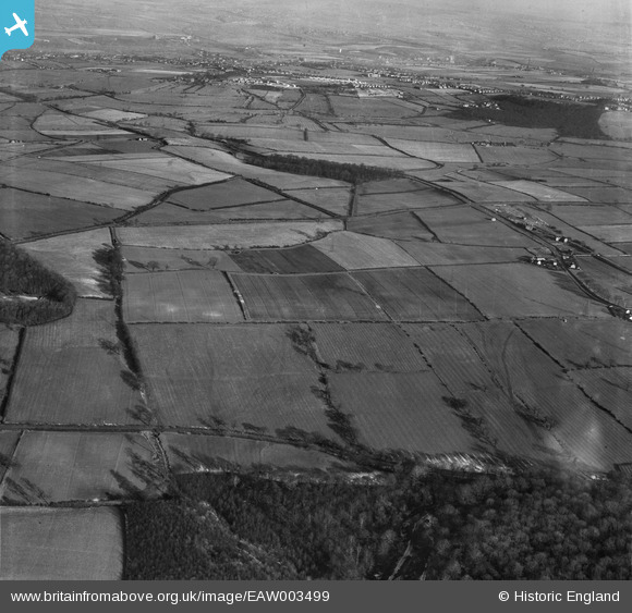
EAW003499 ENGLAND (1947). Fields to the north of Mausoleum Plantation, Hoober, 1947
© Hawlfraint cyfranwyr OpenStreetMap a thrwyddedwyd gan yr OpenStreetMap Foundation. 2026. Trwyddedir y gartograffeg fel CC BY-SA.
Delweddau cyfagos (2)
EAW003499

EAW003512

Manylion
| Pennawd | [EAW003499] Fields to the north of Mausoleum Plantation, Hoober, 1947 |
| Cyfeirnod | EAW003499 |
| Dyddiad | 12-January-1947 |
| Dolen | |
| Enw lle | HOOBER |
| Plwyf | BRAMPTON BIERLOW |
| Ardal | |
| Gwlad | ENGLAND |
| Dwyreiniad / Gogleddiad | 441594, 397842 |
| Hydred / Lledred | -1.3732455130941, 53.475409212534 |
| Cyfeirnod Grid Cenedlaethol | SK416978 |
Pinnau
Byddwch y cyntaf i ychwanegu sylw at y ddelwedd hon!