
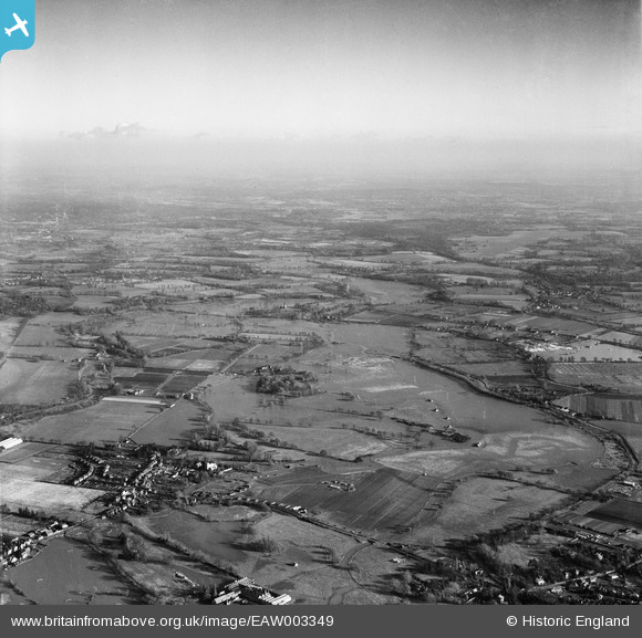
EAW003349 ENGLAND (1946). Flooding of the River Wey around the Oldhall Copse area and environs, Old Woking, from the west, 1946
© Hawlfraint cyfranwyr OpenStreetMap a thrwyddedwyd gan yr OpenStreetMap Foundation. 2026. Trwyddedir y gartograffeg fel CC BY-SA.
Manylion
| Pennawd | [EAW003349] Flooding of the River Wey around the Oldhall Copse area and environs, Old Woking, from the west, 1946 |
| Cyfeirnod | EAW003349 |
| Dyddiad | 13-November-1946 |
| Dolen | |
| Enw lle | OLD WOKING |
| Plwyf | |
| Ardal | |
| Gwlad | ENGLAND |
| Dwyreiniad / Gogleddiad | 502230, 156712 |
| Hydred / Lledred | -0.53345455741983, 51.299835239211 |
| Cyfeirnod Grid Cenedlaethol | TQ022567 |

