
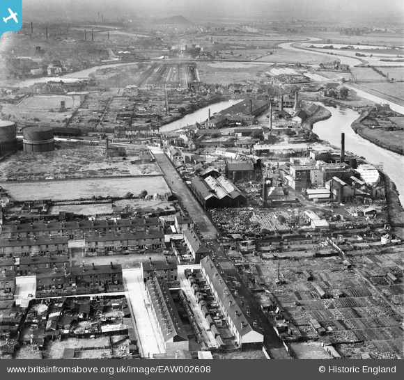
EAW002608 ENGLAND (1946). The Hickson and Welch Chemical Works, housing off Ings Lane and the surrounding area, Castleford, from the north-east, 1946
© Hawlfraint cyfranwyr OpenStreetMap a thrwyddedwyd gan yr OpenStreetMap Foundation. 2026. Trwyddedir y gartograffeg fel CC BY-SA.
Delweddau cyfagos (11)
EAW002608

EAW002548

EAW002616

EAW002545

EAW002610

EAW002611

EAW002607

EAW002615

EAW002614

EAW002613

EAW002606

Manylion
| Pennawd | [EAW002608] The Hickson and Welch Chemical Works, housing off Ings Lane and the surrounding area, Castleford, from the north-east, 1946 |
| Cyfeirnod | EAW002608 |
| Dyddiad | 19-September-1946 |
| Dolen | |
| Enw lle | CASTLEFORD |
| Plwyf | |
| Ardal | |
| Gwlad | ENGLAND |
| Dwyreiniad / Gogleddiad | 443498, 426467 |
| Hydred / Lledred | -1.3405614592073, 53.732557218225 |
| Cyfeirnod Grid Cenedlaethol | SE435265 |
Pinnau
Byddwch y cyntaf i ychwanegu sylw at y ddelwedd hon!