
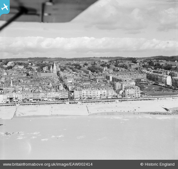
EAW002414 ENGLAND (1946). The seafront and town at Grand Parade to the west of Warrior Square, Hastings, from the south-east, 1946
© Hawlfraint cyfranwyr OpenStreetMap a thrwyddedwyd gan yr OpenStreetMap Foundation. 2026. Trwyddedir y gartograffeg fel CC BY-SA.
Delweddau cyfagos (12)
EAW002414

EPW035344

EPW000117

EPW039363

EAW002413

EAW002415

EPW026207

EPW026190

EPW000109

EPW042838

EPW000114

EPW016890

Manylion
| Pennawd | [EAW002414] The seafront and town at Grand Parade to the west of Warrior Square, Hastings, from the south-east, 1946 |
| Cyfeirnod | EAW002414 |
| Dyddiad | 16-September-1946 |
| Dolen | |
| Enw lle | HASTINGS |
| Plwyf | |
| Ardal | |
| Gwlad | ENGLAND |
| Dwyreiniad / Gogleddiad | 580377, 108849 |
| Hydred / Lledred | 0.56277541878616, 50.850436491758 |
| Cyfeirnod Grid Cenedlaethol | TQ804088 |
Pinnau
Byddwch y cyntaf i ychwanegu sylw at y ddelwedd hon!