
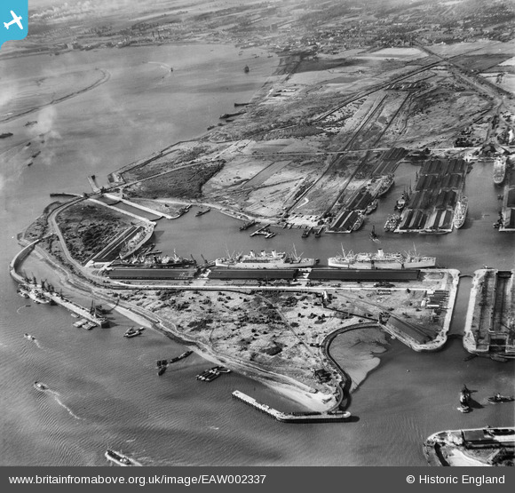
EAW002337 ENGLAND (1946). Tilbury Docks, Tilbury, 1946
© Hawlfraint cyfranwyr OpenStreetMap a thrwyddedwyd gan yr OpenStreetMap Foundation. 2026. Trwyddedir y gartograffeg fel CC BY-SA.
Delweddau cyfagos (13)
EAW002337

EPW044214

EPW044222

EPW044212

EAW028809

EPW044215

EAW030540

EAW028813

EAW028810

EPW032809

EPW044211

EPW006261

EPW044213

Manylion
| Pennawd | [EAW002337] Tilbury Docks, Tilbury, 1946 |
| Cyfeirnod | EAW002337 |
| Dyddiad | 5-September-1946 |
| Dolen | |
| Enw lle | TILBURY |
| Plwyf | |
| Ardal | |
| Gwlad | ENGLAND |
| Dwyreiniad / Gogleddiad | 563255, 175511 |
| Hydred / Lledred | 0.34998009210009, 51.454518961392 |
| Cyfeirnod Grid Cenedlaethol | TQ633755 |
Pinnau

Tipton |
Sunday 20th of August 2023 09:08:09 PM |