
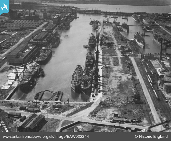
EAW002244 ENGLAND (1946). The Port of Bristol Authority Royal Edward Docks, Avonmouth, 1946. This image has been produced from a print.
© Hawlfraint cyfranwyr OpenStreetMap a thrwyddedwyd gan yr OpenStreetMap Foundation. 2026. Trwyddedir y gartograffeg fel CC BY-SA.
Delweddau cyfagos (9)
EAW002244

EAW002074

EAW002252

EAW002245

EAW002251

EAW002248

EPW005486

EPR000056

EPW019264

Manylion
| Pennawd | [EAW002244] The Port of Bristol Authority Royal Edward Docks, Avonmouth, 1946. This image has been produced from a print. |
| Cyfeirnod | EAW002244 |
| Dyddiad | 18-August-1946 |
| Dolen | |
| Enw lle | AVONMOUTH |
| Plwyf | |
| Ardal | |
| Gwlad | ENGLAND |
| Dwyreiniad / Gogleddiad | 351489, 179498 |
| Hydred / Lledred | -2.6991296414465, 51.511841472778 |
| Cyfeirnod Grid Cenedlaethol | ST515795 |
Pinnau

redmist |
Tuesday 10th of November 2020 11:45:31 PM | |

Matt Aldred edob.mattaldred.com |
Sunday 8th of November 2020 10:34:43 PM | |
|
Matt Aldred edob.mattaldred.com |
Sunday 8th of November 2020 10:33:40 PM | |
|
Matt Aldred edob.mattaldred.com |
Sunday 8th of November 2020 10:33:17 PM | |

Sparky |
Saturday 10th of August 2019 08:09:25 PM | |
|
Sparky |
Saturday 10th of August 2019 08:08:33 PM |