
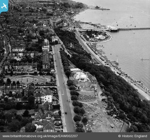
EAW002207 ENGLAND (1946). Clifftown Parade, the Bandstand and environs, Southend-on-Sea, 1946
© Hawlfraint cyfranwyr OpenStreetMap a thrwyddedwyd gan yr OpenStreetMap Foundation. 2026. Trwyddedir y gartograffeg fel CC BY-SA.
Delweddau cyfagos (15)
EAW002207

EAW002208

EPW024860

EPW058501

EPW040986

EPW036724

EPW054675

EPW024868

EPW000555

EPW037008

EPW036734

EPW036998

EPW037017

EPW036712

EPW036984

Manylion
| Pennawd | [EAW002207] Clifftown Parade, the Bandstand and environs, Southend-on-Sea, 1946 |
| Cyfeirnod | EAW002207 |
| Dyddiad | 15-August-1946 |
| Dolen | |
| Enw lle | SOUTHEND-ON-SEA |
| Plwyf | |
| Ardal | |
| Gwlad | ENGLAND |
| Dwyreiniad / Gogleddiad | 587974, 185164 |
| Hydred / Lledred | 0.71054089756046, 51.533559764157 |
| Cyfeirnod Grid Cenedlaethol | TQ880852 |
Pinnau
Byddwch y cyntaf i ychwanegu sylw at y ddelwedd hon!