
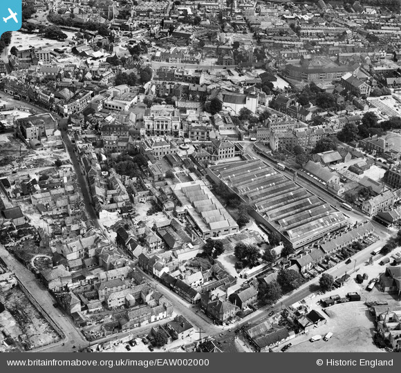
EAW002000 ENGLAND (1946). The Norwich Union offices and the Eastern Counties bus depot and environs, Norwich, 1946
© Hawlfraint cyfranwyr OpenStreetMap a thrwyddedwyd gan yr OpenStreetMap Foundation. 2026. Trwyddedir y gartograffeg fel CC BY-SA.
Delweddau cyfagos (21)
EAW002000

EAW001995

EAW001997

EAW002002

EAW001996

EAW001993

EAW001991

EAW001999

EAW002001

EAW001992

EAW001998

EAW002003

EAW002004

EPW052262

EPW052263

EPW021217

EPW021216

EPW052260

EAW001994

EPW052261

EPW001970A

Manylion
| Pennawd | [EAW002000] The Norwich Union offices and the Eastern Counties bus depot and environs, Norwich, 1946 |
| Cyfeirnod | EAW002000 |
| Dyddiad | 25-July-1946 |
| Dolen | |
| Enw lle | NORWICH |
| Plwyf | |
| Ardal | |
| Gwlad | ENGLAND |
| Dwyreiniad / Gogleddiad | 622955, 308074 |
| Hydred / Lledred | 1.2944814743919, 52.624209978369 |
| Cyfeirnod Grid Cenedlaethol | TG230081 |
Pinnau

andyem |
Tuesday 13th of October 2020 11:57:04 PM | |
|
andyem |
Tuesday 13th of October 2020 11:55:17 PM | |
|
fraser |
Saturday 8th of July 2017 11:54:33 AM | |
|
Chris Lambert |
Thursday 25th of August 2016 01:47:44 PM | |
|
Chris Lambert |
Thursday 25th of August 2016 01:46:53 PM | |
|
Chris Lambert |
Thursday 25th of August 2016 01:46:08 PM | |
|
Chris Lambert |
Thursday 25th of August 2016 01:45:27 PM |