
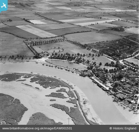
EAW001531 ENGLAND (1946). Marine Parade Recreation Ground, Maldon, 1946
© Hawlfraint cyfranwyr OpenStreetMap a thrwyddedwyd gan yr OpenStreetMap Foundation. 2026. Trwyddedir y gartograffeg fel CC BY-SA.
Delweddau cyfagos (5)
EAW001531

EPW054683

EAW021832

EAW021828

EAW021830

Manylion
| Pennawd | [EAW001531] Marine Parade Recreation Ground, Maldon, 1946 |
| Cyfeirnod | EAW001531 |
| Dyddiad | 5-July-1946 |
| Dolen | |
| Enw lle | MALDON |
| Plwyf | MALDON |
| Ardal | |
| Gwlad | ENGLAND |
| Dwyreiniad / Gogleddiad | 585840, 206566 |
| Hydred / Lledred | 0.69116531412691, 51.726508071642 |
| Cyfeirnod Grid Cenedlaethol | TL858066 |
Pinnau


Cyfraniadau Grŵp
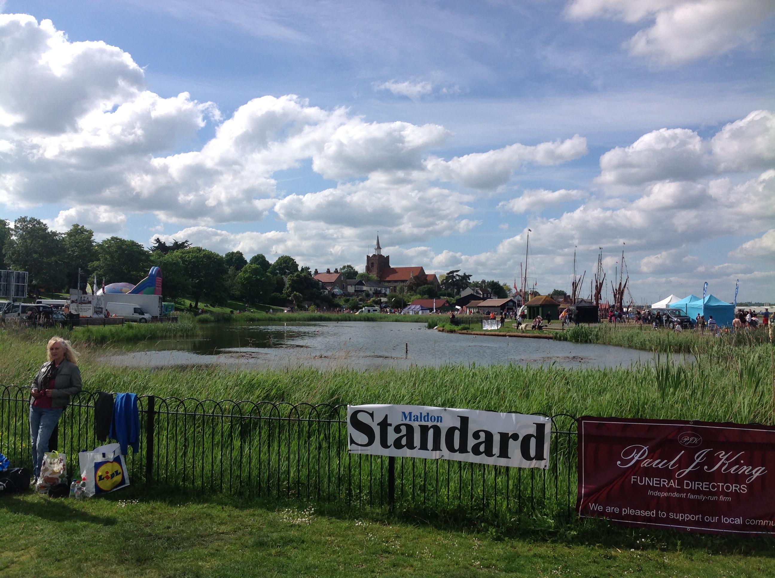
The Marine Lake, Maldon 25/05/2014 |

Class31 |
Tuesday 27th of May 2014 11:48:40 AM |
Maldon's economy in the nineteenth century was kept alive by the Thames sailing barge. Some of these vessels are evident in this shot. More on Maldon and the barges here: www.maldon.gov.uk/info/200141/push_the_boat_out/324/thames_sailing_barges/2 |

MB |
Saturday 14th of September 2013 01:56:14 PM |