
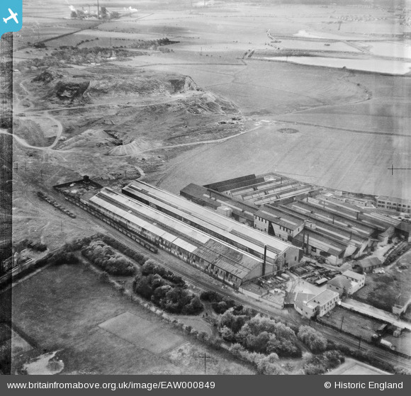
EAW000849 ENGLAND (1946). Baker Perkins Ltd Bedewell Engineering Works and environs, Monkton, 1946
© Hawlfraint cyfranwyr OpenStreetMap a thrwyddedwyd gan yr OpenStreetMap Foundation. 2026. Trwyddedir y gartograffeg fel CC BY-SA.
Delweddau cyfagos (16)
EAW000849

EAW000854

EAW002137

EAW000848

EAW002142

EAW002139

EAW000852

EAW000851

EAW002144

EAW002141

EAW002143

EAW002136

EAW002140

EAW000850

EAW000853

EPW019882
, Jarrow, 1927")
Manylion
| Pennawd | [EAW000849] Baker Perkins Ltd Bedewell Engineering Works and environs, Monkton, 1946 |
| Cyfeirnod | EAW000849 |
| Dyddiad | 15-May-1946 |
| Dolen | |
| Enw lle | MONKTON |
| Plwyf | |
| Ardal | |
| Gwlad | ENGLAND |
| Dwyreiniad / Gogleddiad | 432214, 564429 |
| Hydred / Lledred | -1.4966911826699, 54.973357512422 |
| Cyfeirnod Grid Cenedlaethol | NZ322644 |
Pinnau

redmist |
Thursday 24th of October 2019 11:10:48 AM | |

Sparky |
Friday 28th of July 2017 07:18:52 AM | |
|
Sparky |
Friday 28th of July 2017 07:18:20 AM | |
|
Sparky |
Tuesday 25th of July 2017 11:11:57 PM | |
|
only1jdw |
Wednesday 23rd of December 2015 06:32:35 PM | |
|
only1jdw |
Wednesday 23rd of December 2015 05:42:58 PM | |
|
only1jdw |
Wednesday 23rd of December 2015 05:18:33 PM |