
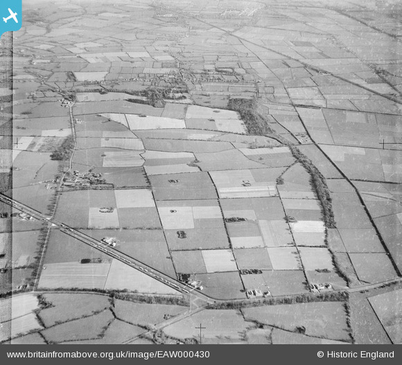
EAW000430 ENGLAND (1946). Fields between the Shotwick-Helsby Bypass (A5117) and Dingle Wood, New Covert, 1946
© Hawlfraint cyfranwyr OpenStreetMap a thrwyddedwyd gan yr OpenStreetMap Foundation. 2026. Trwyddedir y gartograffeg fel CC BY-SA.
Delweddau cyfagos (3)
EAW000430
 and Dingle Wood, New Covert, 1946")
EAW000425

EAW000428

Manylion
| Pennawd | [EAW000430] Fields between the Shotwick-Helsby Bypass (A5117) and Dingle Wood, New Covert, 1946 |
| Cyfeirnod | EAW000430 |
| Dyddiad | 18-April-1946 |
| Dolen | |
| Enw lle | NEW COVERT |
| Plwyf | SHOTWICK PARK |
| Ardal | |
| Gwlad | ENGLAND |
| Dwyreiniad / Gogleddiad | 334881, 370943 |
| Hydred / Lledred | -2.9756545264767, 53.231246423747 |
| Cyfeirnod Grid Cenedlaethol | SJ349709 |
Pinnau

2ev |
Monday 30th of August 2021 09:24:05 PM | |
|
Bunn72 |
Sunday 19th of January 2014 05:12:02 PM | |
|
Bunn72 |
Sunday 19th of January 2014 05:11:03 PM | |
|
Bunn72 |
Sunday 19th of January 2014 05:10:33 PM | |
|
Bunn72 |
Sunday 19th of January 2014 05:09:17 PM | |
|
Bunn72 |
Sunday 19th of January 2014 05:08:16 PM | |
|
Bunn72 |
Sunday 19th of January 2014 05:07:30 PM | |
|
Bunn72 |
Sunday 19th of January 2014 05:06:48 PM | |
|
Bunn72 |
Sunday 19th of January 2014 05:04:32 PM | |
|
Bunn72 |
Sunday 19th of January 2014 05:02:48 PM |