
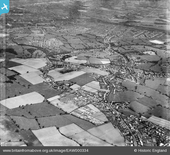
EAW000334 ENGLAND (1946). Wistaston with Crewe in the distance, Wistaston, from the south-west, 1946
© Hawlfraint cyfranwyr OpenStreetMap a thrwyddedwyd gan yr OpenStreetMap Foundation. 2026. Trwyddedir y gartograffeg fel CC BY-SA.
Delweddau cyfagos (5)
EAW000334

EAW000336

EAW000339

EAW000337

EAW000341

Manylion
| Pennawd | [EAW000334] Wistaston with Crewe in the distance, Wistaston, from the south-west, 1946 |
| Cyfeirnod | EAW000334 |
| Dyddiad | 19-April-1946 |
| Dolen | |
| Enw lle | WISTASTON |
| Plwyf | WISTASTON |
| Ardal | |
| Gwlad | ENGLAND |
| Dwyreiniad / Gogleddiad | 368258, 353543 |
| Hydred / Lledred | -2.4738821295329, 53.077870218933 |
| Cyfeirnod Grid Cenedlaethol | SJ683535 |
Pinnau

Creweboy |
Sunday 17th of January 2016 09:06:56 PM |