
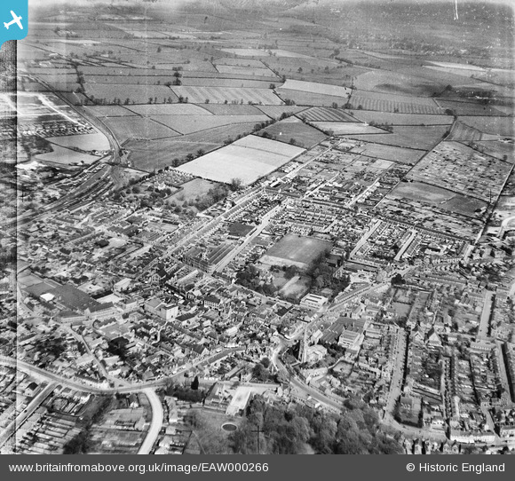
EAW000266 ENGLAND (1946). The town, Rushden, 1946
© Hawlfraint cyfranwyr OpenStreetMap a thrwyddedwyd gan yr OpenStreetMap Foundation. 2026. Trwyddedir y gartograffeg fel CC BY-SA.
Delweddau cyfagos (8)
EAW000266

EAW000269

EAW000264

EAW000270

EAW000267

EAW000265

EAW000268

EAW000271

Manylion
| Pennawd | [EAW000266] The town, Rushden, 1946 |
| Cyfeirnod | EAW000266 |
| Dyddiad | 15-April-1946 |
| Dolen | |
| Enw lle | RUSHDEN |
| Plwyf | RUSHDEN |
| Ardal | |
| Gwlad | ENGLAND |
| Dwyreiniad / Gogleddiad | 496011, 266933 |
| Hydred / Lledred | -0.59211289182131, 52.291738415301 |
| Cyfeirnod Grid Cenedlaethol | SP960669 |
Pinnau

John W |
Monday 4th of July 2016 04:24:19 PM | |

melgibbs |
Thursday 19th of February 2015 07:27:47 PM | |
|
melgibbs |
Thursday 19th of February 2015 03:42:34 PM | |
|
melgibbs |
Thursday 19th of February 2015 03:35:03 PM |